Richat Structure
Mauritania /
Adrar /
Singati /
World
/ Mauritania
/ Adrar
/ Singati
, 131 km from center (شنقيطي)
World / Mauritania / Adrar
geology, interesting place, tourist attraction
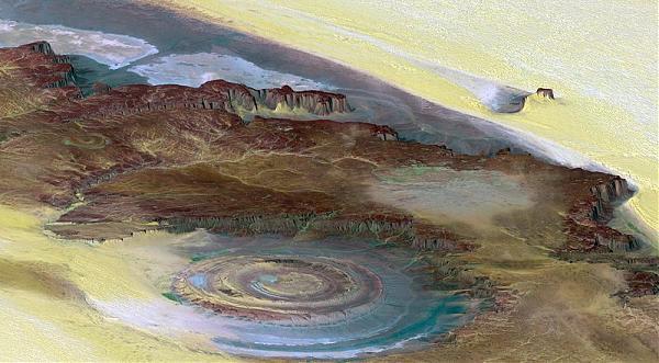
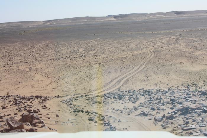
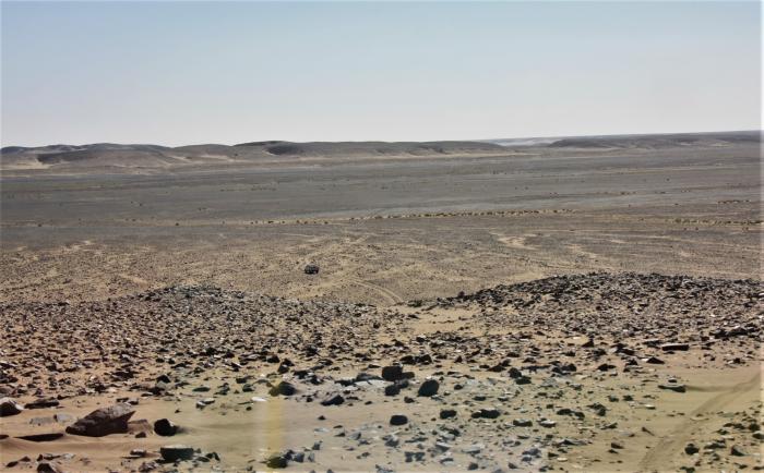
Image: (c) NASA Richat Structure. Sometimes referred to as the "Eye of Africa". This prominent circular feature, known as the Richat Structure, in the Sahara desert of Mauritania is often noted by astronauts because it forms a conspicuous 50-kilometer-wide (30-mile-wide) bull's-eye on the otherwise rather featureless expanse of the desert. Initially mistaken for a possible impact crater, it is now known to be an eroded circular anticline (structural dome) of layered sedimentary rocks.
photojournal.jpl.nasa.gov/catalog/pia04963
www.unb.ca/passc/ImpactDatabase/faq.html#richatn(a short for sale video in French : www.radio-canada.ca/actualite/v2/decouverte/niveau2_lis...
Long enough time, structure Rishat, served as a reference point for cosmonauts in an space-orbit. Because it was well a visible object in the middle of the desert.
Wikipedia article: http://en.wikipedia.org/wiki/Richat_Structure
Nearby cities:
Coordinates: 21°7'4"N 11°22'32"W
- Sfariat 333 km
- Gor Lefcah 414 km
- Karb Tichiya 429 km
- Jbelat Al Kouhal 443 km
- Ichergan / Aserfat Tauerta 462 km
- Gor Fayyad An Nareb 471 km
- Gor Briber 490 km
- Galb Aghmalzil 493 km
- Yebeilat Doloaa 551 km
- Aguerguer 572 km
- Uad Akerdil 4.5 km
- Sebket el Guelb er Richat 4.7 km
- Seheb Tin Jouker 6.9 km
- Sebkha Akerdil 12 km
- Uad Bamoure 14 km
- Sebkha Touljinit 16 km
- Semsiyat dome 49 km
- Aderg 65 km
- Sebkhat chemchame 77 km
- Sebket Bou Talha 128 km
Comments