Tel Dor
Israel /
Hamerkaz /
Fureidis /
World
/ Israel
/ Hamerkaz
/ Fureidis
World / Israel
archaeological site, excavation
dor.huji.ac.il/
www.mnsu.edu/emuseum/archaeology/sites/middle_east/tel_...
www.archaeowiki.org/Tel_Dor
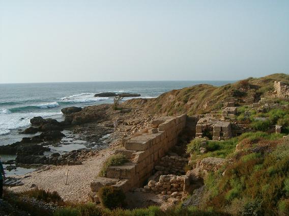
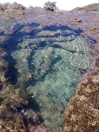
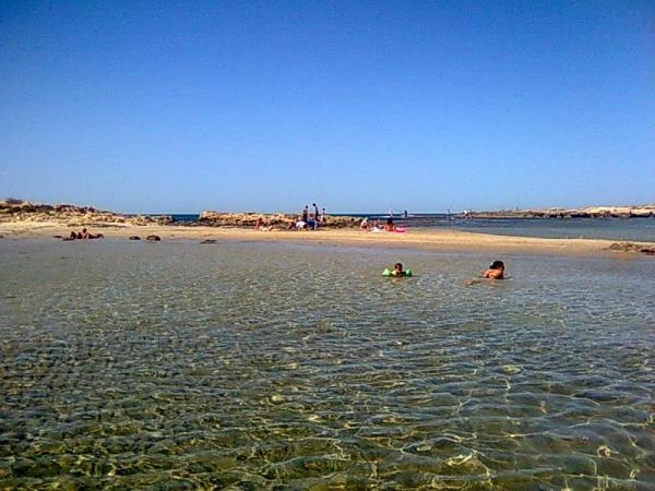
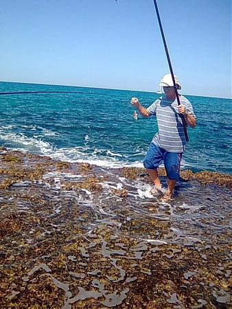
The site of ongoing archaeological excavation, Tel Dor was occupied in the Early Bronze Age through the Roman/Hellenistic Period and the Byzantine Period, and was later the site of a Crusader Castle, Merle. The 2006 excavation season uncovered Iron Age and Roman/Hellenistic occupation levels.
Additionally, Tel Dor is remarkable for the use of radiocarbon dating on Iron Age remains, which has challenged the established Iron Age chronology of Israel in Near Eastern Archaeological sequences
www.youtube.com/watch?v=QgsQ-lgPJZQ
www.mnsu.edu/emuseum/archaeology/sites/middle_east/tel_...
www.archaeowiki.org/Tel_Dor
The site of ongoing archaeological excavation, Tel Dor was occupied in the Early Bronze Age through the Roman/Hellenistic Period and the Byzantine Period, and was later the site of a Crusader Castle, Merle. The 2006 excavation season uncovered Iron Age and Roman/Hellenistic occupation levels.
Additionally, Tel Dor is remarkable for the use of radiocarbon dating on Iron Age remains, which has challenged the established Iron Age chronology of Israel in Near Eastern Archaeological sequences
www.youtube.com/watch?v=QgsQ-lgPJZQ
Nearby cities:
Coordinates: 32°37'5"N 34°55'3"E
- Caesarea Maritima 12 km
- En Esur 18 km
- Evron Quarry 20 km
- Usha 29 km
- Tel Afek 31 km
- Jabara Ruins 40 km
- Evron Landfill 45 km
- Arsuf Stronghold - aka Arsur or Apollonia; a Crusader castle 48 km
- Tel Kabri 48 km
- Tel Michal 52 km
- Ein Ayala 2.7 km
- Hof HaCarmel Regional Council 5.3 km
- Fish Farms 5.4 km
- Ofer 6 km
- Ma'agan Michael 6.7 km
- Ramat HaNadiv 8.5 km
- Israeli Explosives Industries Ltd. (IEI) 8.7 km
- Alona Regional Council 12 km
- Mount Carmel 15 km
- Menashe Regional Council 21 km