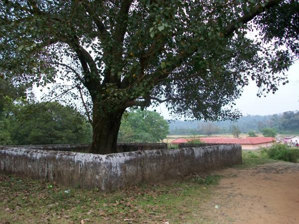
Ashoka Tree
India /
Karnataka /
Ponnampet /
World
/ India
/ Karnataka
/ Ponnampet
World / India / Karnataka / Kodagu
Nearby cities:
Coordinates: 11°58'18"N 75°59'10"E
- IRUPU FALLS, SRIMANGALA, KODAGU 0.4 km
- somayas estate 3.1 km
- chettamada 4.7 km
- Pakshi Pathalam ( Munikal Caves) 4.8 km
- Chekkera Ajith Bellippa 6.5 km
- Appanderanda family 6.7 km
- Tholpetty wayand Kerala 7.5 km
- PALTHOPE ESTATE 7.6 km
- "Buttercup Bold" 7.9 km
- MAKKIMALA TEA PLANTATION 11 km
- BRAMMAGIRI (Bramhagiri) -Ghats -Pakhshipathalam Bird Sanchuary Wayanad -Kerala 3.4 km
- Kerala - Karnataka Border, Brahmagiri 4.4 km
- Brahmagiri Peak (1607m), Kerala - Karnataka border 4.5 km
- Pakshipathalam 5.2 km
- Machamada Rathan - Kaveri Estate 5.7 km
- Kari Mala (1598m), Highest point in Kannur district 6.8 km
- tranquil lake home stay 8.4 km
- Valiyakunnu, Makkimala 11 km
- Nagarhole National Park 21 km
- Waynad Wild LIfe Sanctuary 43 km
BRAMMAGIRI (Bramhagiri) -Ghats -Pakhshipathalam Bird Sanchuary Wayanad -Kerala
Kerala - Karnataka Border, Brahmagiri
Brahmagiri Peak (1607m), Kerala - Karnataka border
Pakshipathalam
Machamada Rathan - Kaveri Estate
Kari Mala (1598m), Highest point in Kannur district
tranquil lake home stay
Valiyakunnu, Makkimala
Nagarhole National Park
Waynad Wild LIfe Sanctuary