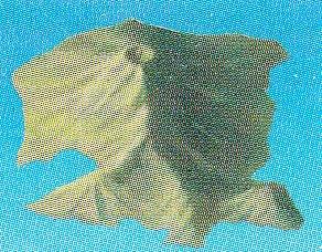
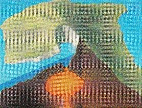
Perimeter of Thera before Minoan eruption
Greece /
Kiklades /
Thira /
World
/ Greece
/ Kiklades
/ Thira
, 3 km from center (Θήρα)
World / Greece / Notio Aigaio
volcano, draw only border
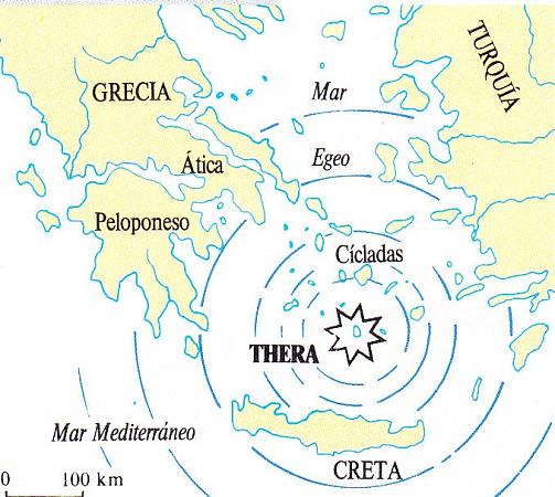
The Minoan eruption of Thera, also referred to as the Thera eruption or Santorini eruption, was a major catastrophic volcanic eruption (Volcanic Explosivity Index (VEI) = 6 or 7, Dense-rock equivalent (DRE) = 60 km3) which is estimated to have occurred in the mid second millennium BCE. The eruption was one of the largest volcanic events on Earth in recorded history. The eruption devastated the island of Thera (also called Santorini), including the Minoan settlement at Akrotiri as well as communities and agricultural areas on nearby islands and on the coast of Crete. The eruption may have contributed to the collapse of the Minoan culture. It has also sometimes been claimed to have caused climatic changes, but this is not known.
Wikipedia article: http://en.wikipedia.org/wiki/Minoan_eruption
Nearby cities:
Coordinates: 36°24'25"N 25°24'16"E
- Karadağ 690 km
- Nemrut volcanic massif 1498 km
- Süphan Mountain 1552 km
- Volcano Region Uweinat - North 1572 km
- Tendürek Mountain 1642 km
- Greater Aghri 1687 km
- Ariya Volcanic Field 1710 km
- Siyahgan Volcanic Field 1718 km
- Salma caldera 1874 km
- Old Activist Volcano Area 2008 km
- Santorini 1.5 km
- Palea Kameni 2.6 km
- Therasia 6.4 km
- Santorini Island (Thira) International Airport 6.6 km
- Prophet Elias Mountain 6.7 km
- Aghia Paraskevi 7.3 km
- Ancient Thira 8.3 km
- Limnes 8.4 km
- Perivolos 8.4 km
- Αghios Georgios 8.4 km