Sandon Park (Nuneaton)
United Kingdom /
England /
Nuneaton
World
/ United Kingdom
/ England
/ Nuneaton
World / United Kingdom / England
park, recreation area / ground
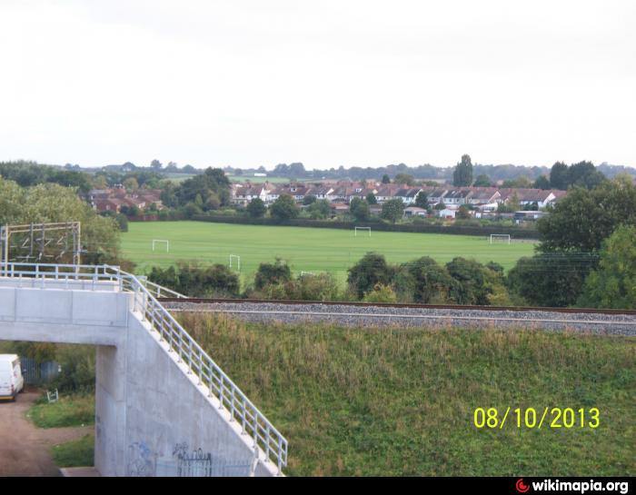
Sandon Park was once part of the ornamental gardens surrounding the Castle. The slight depressions on the ground indicate the position of a lengthy boating lake constructed within the estate.
Nearby cities:
Coordinates: 52°32'4"N 1°28'16"W
- Lion Farm Playing Field 38 km
- The Meadows Recreation Ground 50 km
- Ashbourne Recreation Ground 57 km
- Thrybergh Country Park 104 km
- Wigg Island Community Park 124 km
- King George V Playing Field 135 km
- Baltic Triangle 140 km
- Playing Fields 147 km
- Albion Street Playing Fielfs 268 km
- Otterburn Hall Grounds 306 km
- Weddington (suburb) 0.6 km
- Abbey 0.9 km
- Canal Farm 0.9 km
- Weddington 1.1 km
- Judkins Quarry 1.2 km
- Camp Hill 1.9 km
- Bar Pool 2 km
- Stockingford 2.7 km
- Hartshill 2.8 km
- Warwickshire 25 km