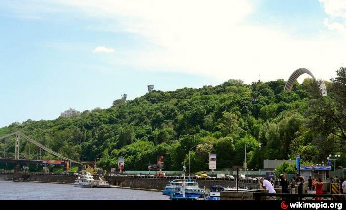
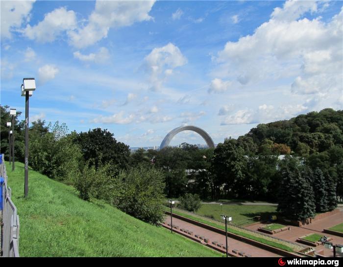
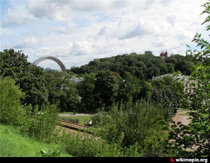
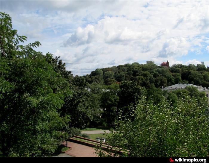
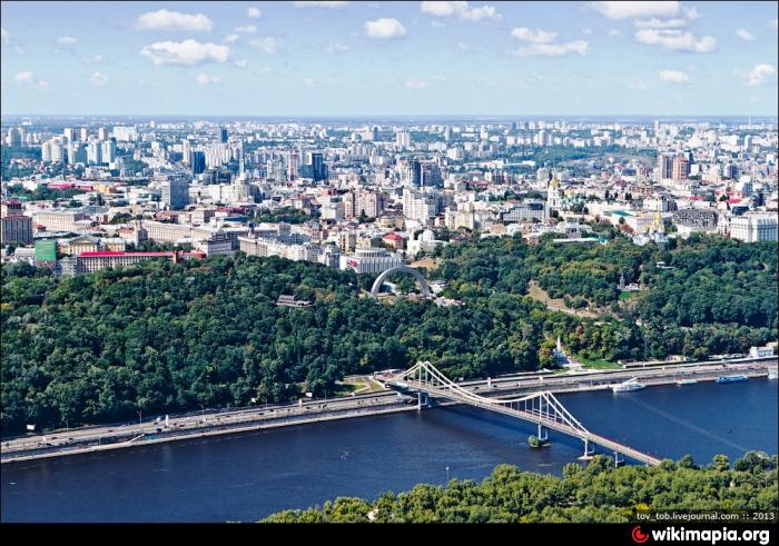
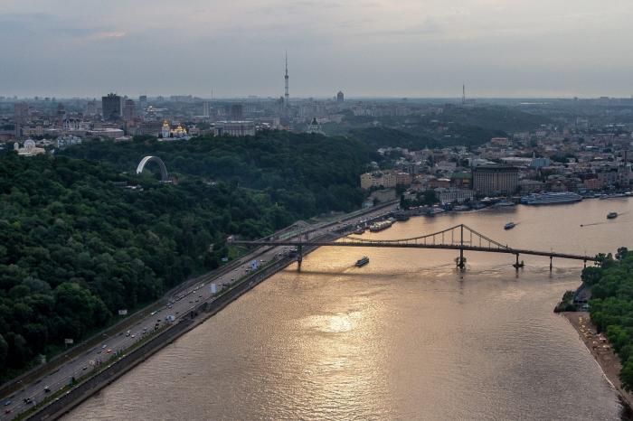
Khreshchatyi Park (Kyiv)
Ukraine /
Kyyiv /
Kiev /
Kyiv
World
/ Ukraine
/ Kyyiv
/ Kiev
, 3 km from center (Київ)
World / Ukraine / Kiev City
park, place with historical importance, 18th century construction
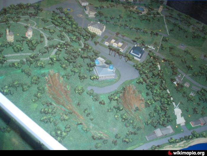
The park was founded as a part of the Tsarskyi ('Royal') Garden in 1743.
In 1752, after the liquidation of the 'Skorodum' fortress, the park was planned.
It had different names – Tsarskyi ('Royal'), Kupetskyi ('Merchant'), Proletarskyi ('Proletarian'), Pionerskyi ('Pioneer').
The park received its current name on February 2, 1993.
Since 1972, Khreshchatyi Park has the status of a monument of garden and park art of local importance.
Area: 11.8 hectares (29 acres).
Wikipedia article: http://en.wikipedia.org/wiki/Khreshchatyi_Park
Nearby cities:
Coordinates: 50°27'15"N 30°31'55"E
- Askold's Grave Park 0.2 km
- Central Park 1.1 km
- Lesia Ukrainka Boulevard 1.8 km
- Slavy ('Glory') Park 1.8 km
- Hydropark 2.5 km
- Venetsianskyi Island 2.5 km
- Taras Shevchenko Boulevard 2.8 km
- Protasiv Yar 3.8 km
- M. M. Gryshko National Botanic Garden 3.9 km
- New part of the cemetery 4.5 km
- Dynamo tennis courts 0.3 km
- Valerii Lobanovskyi Dynamo Stadium 0.5 km
- Football field 0.5 km
- Beach 0.6 km
- Lypky 1.1 km
- Pecherskyi raion 3 km
- Podilskyi raion 7 km
- Dniprovskyi raion 7.9 km
- Desnianskyi raion 12 km
- Kaniv Reservoir 47 km