Ditarem Island
Philippines /
Cagayan Valley /
Basco /
World
/ Philippines
/ Cagayan Valley
/ Basco
World / Philippines / Batanes / Mahatao
island
Add category

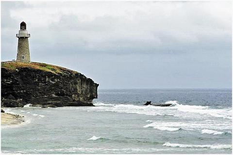
Ditarem Island is one of the northernmost Islands in the Philippines. It is part of the province of Batanes, municipality of Itbayat.
It is uninhabited according to the 2004 Philippine census.
Location: Sta Rosa, Itbayat, Batanes
It is uninhabited according to the 2004 Philippine census.
Location: Sta Rosa, Itbayat, Batanes
Nearby cities:
Coordinates: 20°55'41"N 121°55'23"E
- Itbayat Island 18 km
- Ivuhus Island 67 km
- Babuyan Island 151 km
- Babuyan Islands 165 km
- Calayan Island 181 km
- Dalupiri Island 210 km
- Camiguin Island 214 km
- Fuga Island 235 km
- Palaui Island 262 km
- Ati Islands 281 km
- Karuvuban 14 km
- Batanes 25 km
- Luzon Strait 61 km
- Bashi Channel 64 km
- Unnamed Submarine Volcano (Ibugos) 69 km
- Balintang Channel 124 km
- Smith Volcano known as Mt. Babuyan 155 km
- Town of Cabaroan 160 km
- Babuyan Islands 195 km
- Vinalines Queen vessel positions lost contact. 220 km
Comments