Intersection State Route 39/Lexington-Springmill Road
USA /
Ohio /
Ontario /
World
/ USA
/ Ohio
/ Ontario
World / United States / Ohio
junction - Do not use this category, the category is under cleanup, traffic light
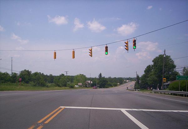
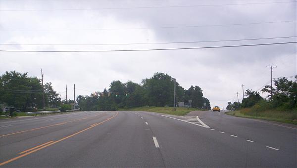
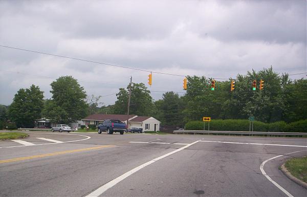
Ohio State Route 39/Lexington-Springmill Road intersection is located in Springfield Township near the City of Mansfield.
This intersection was one of the worst dangerous intersections in Richland County for nearly 15 years with numerus traffic accidents until November 2005 when a traffic signal was installed. The last major traffic accident at the intersection was in March 2005.
Traffic at this intersection has incressed due to the retail growth along Lexington-Springmill Road in the suburban City of Ontario over the last 20 years. Traffic is heavy on Ohio State Route 39 between the City of Mansfield and the City of Shelby during the work week and on the weekends and even during the school week.
Wikipedia article: http://en.wikipedia.org/wiki/Ohio_State_Route_39
Nearby cities:
Coordinates: 40°48'32"N 82°35'22"W
- To Interstate 71/US 35 158 km
- US 33/50 Ohio 32 South 172 km
- Interstate 74/275 West 255 km
- Winslow Junction (historic) 670 km
- Monmouth Junction, New Jersey 680 km
- Km 275 - James Bay road at junction with The North Road 1254 km
- Km 544 - Junction of Trans-Taiga Road (east) & James-Bay Road (north) 1447 km
- Junction of Trans-Taiga Road & Laforge-1 Dam Road 1644 km
- Junction of Trans-Taiga Road & Laforge-2 Dam 1746 km
- The Broadway Curve 2721 km
- The Ohio State University at Mansfield/North Central State College Main Campus 1.6 km
- Oak Tree Golf Club 2.1 km
- Madison Township 3.9 km
- Former site of Richland County Landfill 4.9 km
- Westbrook Country Club 5.2 km
- AK Steel Mansfield Works 5.6 km
- Springfield Township 5.6 km
- Jackson Township 5.7 km
- Mansfield Lahm Airport (MFD/KMFD) 6.3 km
- Franklin Township 7.3 km