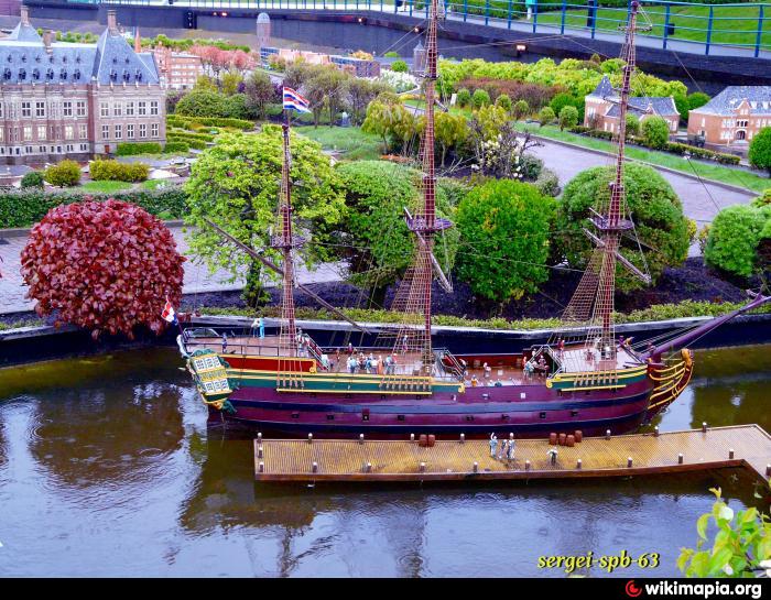
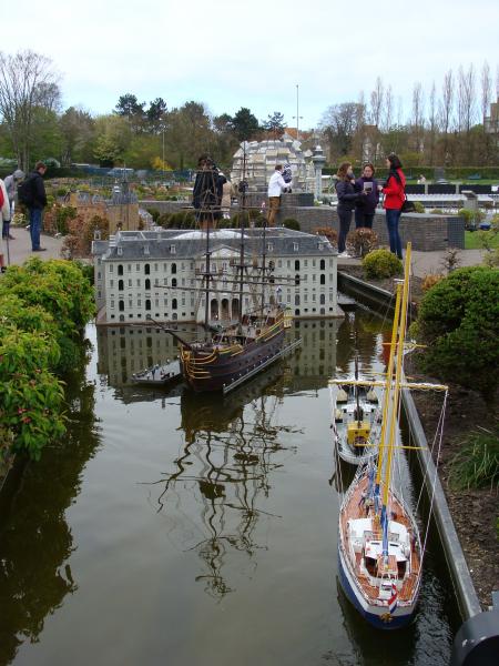
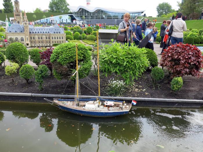
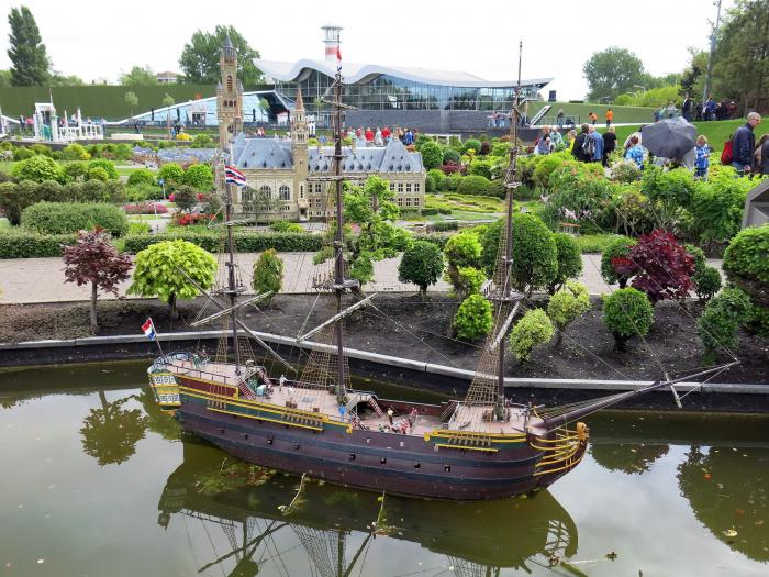
VOC ship "Amsterdam" (Madurodam)
Netherlands /
Zuid-Holland /
s-Gravenhage /
World
/ Netherlands
/ Zuid-Holland
/ s-Gravenhage
World / Netherlands / Zuid-Holland
ship, place with historical importance, miniature
This is where the real ship is: wikimapia.org/#lat=52.3716953&lon=4.9148154&z=16&l=0&m...
Wikipedia article: http://en.wikipedia.org/wiki/Amsterdam_(VOC_ship)
Nearby cities:
Coordinates: 52°5'56"N 4°17'50"E
- Maasvlakte 2 26 km
- SMS Blücher (wreck) 266 km
- Trinity House Lightvessel 5 (LV 5) 352 km
- Flensburger Schiffbau-Gesellschaft 455 km
- Naval Base Eckernförde 455 km
- HDW 461 km
- ORP Ślązak 989 km
- Wreck of Graf Zeppelin 993 km
- U-346 or U-272 wreck 1004 km
- U-7 (wreck). 1050 km
- Van Stolkpark 0.3 km
- Scheveningse Bos 0.4 km
- Scheveningen 0.7 km
- The Hague Downtown 1.8 km
- Beach of Scheveningen 2 km
- Harbour of Scheveningen 2.4 km
- The Hague (municipality) 2.7 km
- Segbroek 3.3 km
- Wassenaar (Municipality) 6.7 km
- South Holland 18 km