Marble Arch subway complex (east) (London)
United Kingdom /
England /
London /
Park Lane
World
/ United Kingdom
/ England
/ London
World / United Kingdom / England
tunnel, underpass, invisible
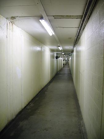
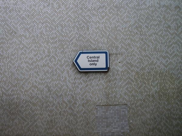
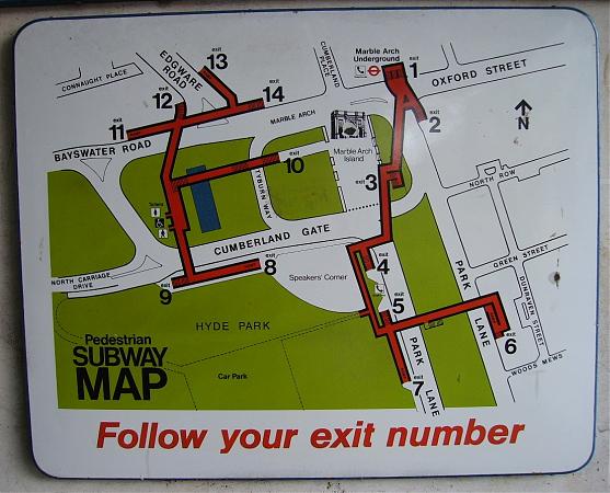
One third of one of the most complicated networks of pedestrian subways anyhwere in the world, with no fewer than 27 individual entrances and exits (some of which are now closed off). This part of the network includes access to the HydePark car park (under the park) and to Marble Arch Undrground station (there's another section to the west, and another - the strangest of all - to the south). The complex was designed to make sure every section of what had been Hyde park (before Park Lane was turned into a dual carriageway, and the large gyratory was built round Marble Arch) remained accessible to the public - hence some of the curious and little-used exits that seem to go to nothing more than traffic islands. With hindsight these subways were probably just a little bit too confusing, and are now due to be (mostly) replaced with surface pedestrian crossings.
Nearby cities:
Coordinates: 51°30'45"N -0°9'30"E
- HS1 4.8 km
- First River Severn Rail Tunnel 177 km
- Harecastle tunnel 225 km
- Cowburn Tunnel 237 km
- Rhondda Tunnel - 3443 yd/3148 m 239 km
- Woodhead Tunnel (disused) 250 km
- Queensway Tunnel (1934) 287 km
- Blea Moor Tunnel 339 km
- Path of Victoria Tunnel (Approx) 399 km
- Dublin Port Tunnel 463 km
- Marble Arch car park 0.3 km
- City of Westminster 0.4 km
- Hyde Park Winter Wonderland 0.5 km
- Hyde Park 0.7 km
- Mayfair 0.9 km
- Paddington 1.2 km
- Marylebone 1.4 km
- Royal Borough of Kensington and Chelsea 2.4 km
- Central London 2.6 km
- Camden Council 3.4 km