Delaware Bay
USA /
New Jersey /
Port Norris /
World
/ USA
/ New Jersey
/ Port Norris
World / United States / New Jersey
bay, estuary, Ramsar site, invisible
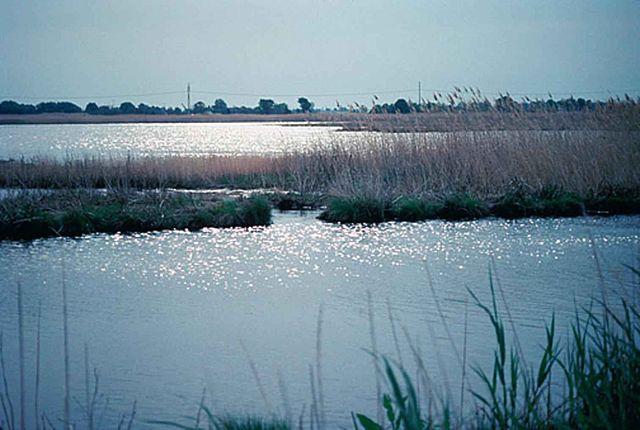
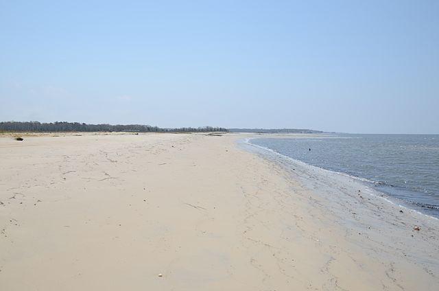
The Delaware Bay is a large estuary outlet of the Delaware River on the Northeast seaboard of the United States whose fresh water mixes for many miles with the waters of the Atlantic Ocean. It is 782 square miles (2,030 km2) in area.
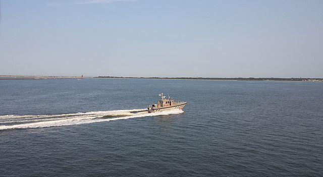
There is a shipping channel and anchorage in the bay. It is one of the most important waterways in the United States, and the second busiest waterway after the Mississippi river.
There are oyster, crabs, clams, and many species of fish in the bay. In the early 1980s, the University of Delaware experimented in seeding the bay with the 'American lobster', Homarus americanus.
Wikipedia article: http://en.wikipedia.org/wiki/Delaware_Bay
Nearby cities:
Coordinates: 39°6'57"N 75°12'49"W
This article is protected.
- Raritan Bay 179 km
- Sandy Hook Bay 180 km
- Lower New York Bay 189 km
- Newark Bay 199 km
- Upper New York Bay 201 km
- Upper Bay 201 km
- Jamaica Bay Wildlife Refuge 204 km
- Manhasset Bay 230 km
- Great Peconic Bay 308 km
- Onslow Bay 549 km
- Heislerville Wildlife Management Area 21 km
- Port Norris, New Jersey 21 km
- Fairton, New Jersey 29 km
- Laurel Lake, New Jersey 29 km
- Cumberland County, New Jersey 29 km
- NJ Silica Sand Company (Formerly) 34 km
- Middle Township, New Jersey 34 km
- Dennis Township, New Jersey 37 km
- Cape May County, New Jersey 39 km
- Atlantic County, New Jersey 66 km