Tarim Basin
China /
Xinjiang /
Korla /
World
/ China
/ Xinjiang
/ Korla
World / People's Republic of China / Xinjiang Uygur / Khotan
basin (geographical), invisible
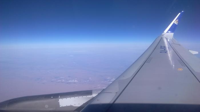
The Tarim Basin is a large endorheic basin occupying an area of more than 400,000 km². It is located in the Xinjiang Uyghur Autonomous Region in China's far west. Its northern boundary is the Tian Shan mountain range and its southern is the Kunlun Mountains on the northern edge of the Tibetan Plateau. The Taklamakan Desert dominates much of the basin. The heart of the desert gets less than 10 millimeters of rain a year. The area is sparsely settled by the Uyghurs, other Turkic peoples and Tajiks. The Silk Road, a series of trade routes through regions of Asia, splits into two routes: the North Silk Road along the northern edge and another along the southern edge of the Taklamakan Desert. A middle route was deserted in the sixth century.
Wikipedia article: http://en.wikipedia.org/wiki/Tarim_basin
Nearby cities:
Coordinates: 39°7'48"N 82°54'10"E
- Tarim Basin 806 km
- Kumari Basin 1802 km
- Pond 1901 km
- Wadi Merkhah 4520 km
- Man-made lakes 56 km
- DErilling site 58 km
- Tazhong Oil Field 66 km
- reservoir 67 km
- reservoir 67 km
- Tazhong Desert Botanic Garden 68 km
- Tazhong 68 km
- Drilling Site 71 km
- Oil settling basins 72 km
- Settlement 169 km