Ute Mountains
USA /
Colorado /
Towaoc /
World
/ USA
/ Colorado
/ Towaoc
World / United States / Colorado
mountain, summit, invisible
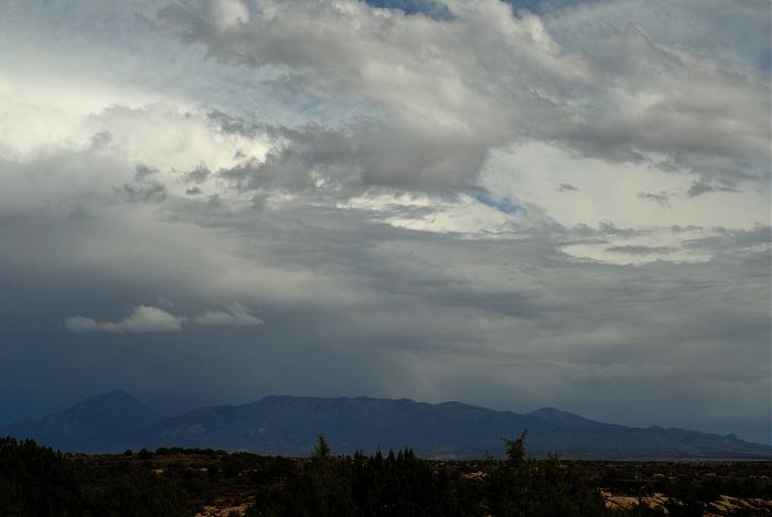

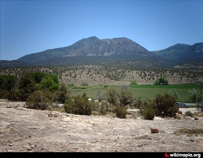
Sleeping Ute Mountain is a 9,998 ft (3042 m). peak and the highest among several peaks that comprise the Ute Mountains in southeastern Colorado. It's coordinates are 37°17′03″N, 108°46′41″W. From some vantage points the cluster of peaks are said to resemble a Ute Chief lying on his back with arms folded across his chest. The mountains are regarded as a sacred place by descendents of the Weeminuche Ute band.
www.peakbagger.com/peak.aspx?pid=3983
www.topoquest.com/map.php?lat=37.28416&lon=-108.77871&d...
www.peakbagger.com/peak.aspx?pid=3983
www.topoquest.com/map.php?lat=37.28416&lon=-108.77871&d...
Wikipedia article: http://en.wikipedia.org/wiki/Ute_Mountain
Nearby cities:
Coordinates: 37°15'41"N 108°47'59"W
- Chapin Mesa 27 km
- Carrizo Mountains 58 km
- La Plata Mountains 65 km
- Abajo Mountains 100 km
- Telluride Ski and Golf Resort 111 km
- Sneffels Range 113 km
- San Juan Mountains 123 km
- La Sal Mountains or La Sal Range 154 km
- Archuleta Mesa 158 km
- Adobe Mesa 162 km
- Towaoc 9 km
- Cortez Municipal Airport 16 km
- Navajo Canyon 28 km
- Spruce Canyon 28 km
- Lewis , CO 29 km
- Narraguinnep Reservoir 30 km
- Mesa Verde National Park 31 km
- Dolores, Colorado 35 km
- McPhee Reservoir 38 km
- Cahone, Colorado 44 km