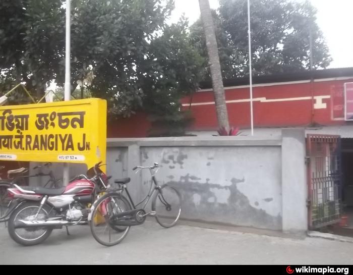
Rangia
India /
Assam /
Rangia /
World
/ India
/ Assam
/ Rangia
World / India / Assam / Kamrup
town, taluka headquarter
Tehsil Rangia, District Kamrup (Amingaon), Assam, Bharat.
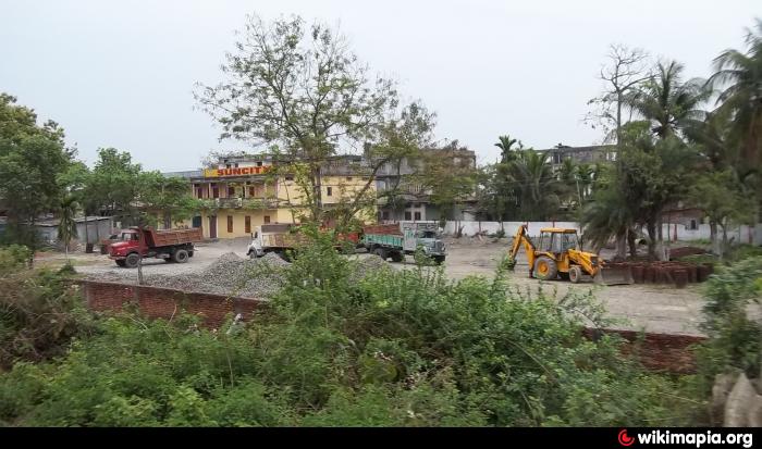
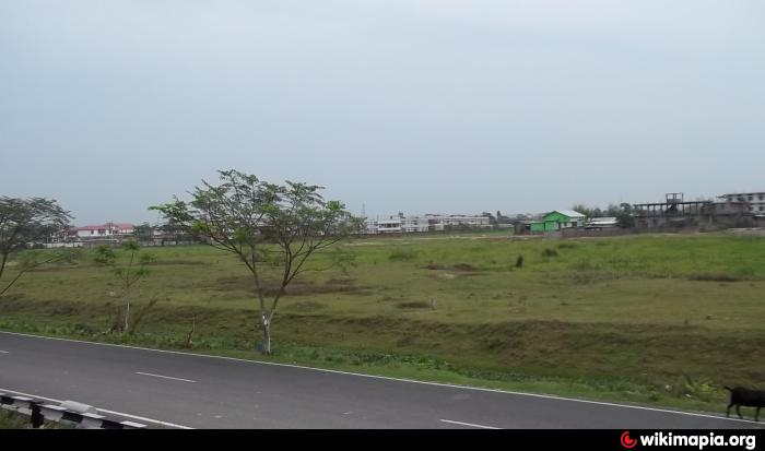
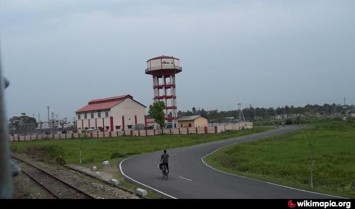
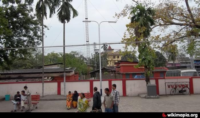
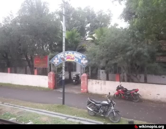
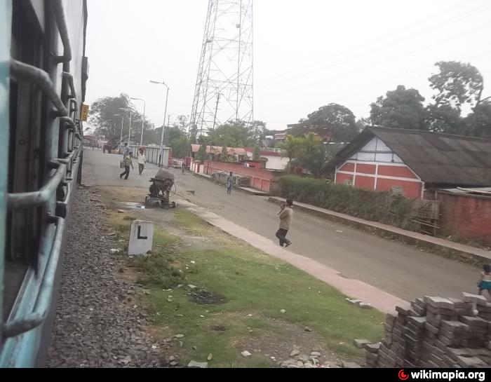
Rangia (also spelt as Rangiya) (Assamese:ৰঙিয়া) is a city and a municipal board in Kamrup district (rural) in the Indian state of Assam. It's situated 52 kilometres away from the state headquarter Guwahati.
Rangia (also spelt as Rangiya) (Assamese:ৰঙিয়া) is a city and a municipal board in Kamrup district (rural) in the Indian state of Assam. It's situated 52 kilometres away from the state headquarter Guwahati.
Wikipedia article: https://en.wikipedia.org/wiki/Rangiya
Nearby cities:
Coordinates: 26°26'12"N 91°37'4"E
- Nongpoh 59 km
- Nongstoin 104 km
- Mawkyrwat 114 km
- Sylhet Divisional Town 168 km
- Tura 176 km
- Dalu (Meghalaya, India) 194 km
- JIRIBAM 233 km
- Kanchanpur 258 km
- Teliamura 284 km
- Barisal Divisional Town 430 km
- RMS COLONY 1.7 km
- Barhampur Hat Bajali (Rangiya ) 2.8 km
- Sepkuchi Gaon (Brindaban) 12 km
- Kushal's Native 13 km
- DhomDhoma 19 km
- tubul essar 23 km
- village Kadamtala 24 km
- junial nag, Attareekhat, udalguri,(assam) 34 km
- sb house area 34 km
- rupon dey s home m 34 km