Park Place (Rolling Meadows, Illinois)
USA /
Illinois /
Rolling Meadows /
Rolling Meadows, Illinois /
Algonquin Road (Illinois Route 62)*, 1600-1644
World
/ USA
/ Illinois
/ Rolling Meadows
World / United States / Illinois
strip mall
Add category
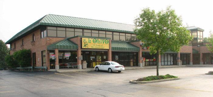
Park Place Strip Mall
Wikipedia article: https://en.wikipedia.org/wiki/Strip_mall
Nearby cities:
Coordinates: 42°4'2"N 88°2'22"W
- Norridge Commons Shopping Center 23 km
- Six Corners Shopping District 27 km
- Ogden Mall 31 km
- Cress Creek Square 33 km
- Cicero Market Place 35 km
- The Grove Shopping Center 35 km
- Aurora Marketplace 38 km
- Dunes Plaza 104 km
- Pine Tree Plaza 106 km
- Erskine Village Shopping Center 157 km
- Motorola Campus 1.1 km
- Plum Grove Hills 1.4 km
- Tollway Industrial Park 1.8 km
- Wexford 2.6 km
- Plum Grove Park 2.7 km
- Harper College 3.1 km
- Plum Grove Hills 3.3 km
- Klefstad's Palatine Industrial Park 3.6 km
- Arlington Park Racecourse 3.6 km
- Cook County, Illinois 31 km