Regio I
Italy /
Campania /
Pompei /
World
/ Italy
/ Campania
/ Pompei
World / Italy / Campania / Napoli
archaeological site, excavation, invisible, draw only border
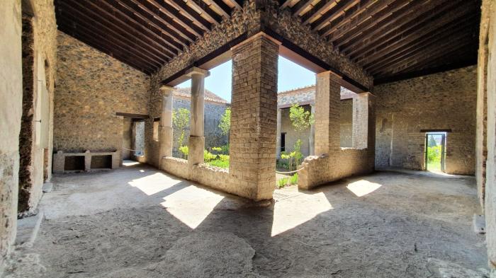
Regio I lies in the south east quadrant of Pompeii, bounded to the west by the Via Stabiana, to the north by the Via dell'Abbondanza and to the east by the Via di Nocera.
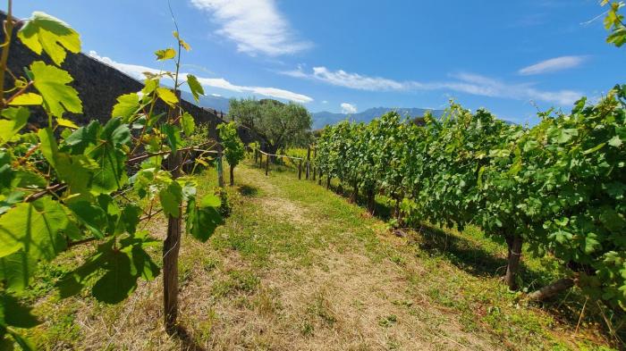
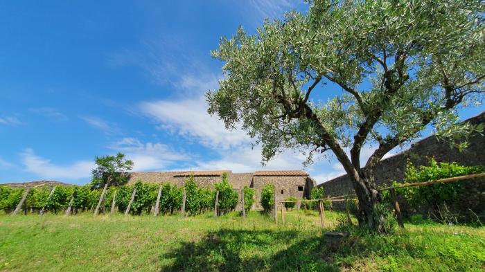
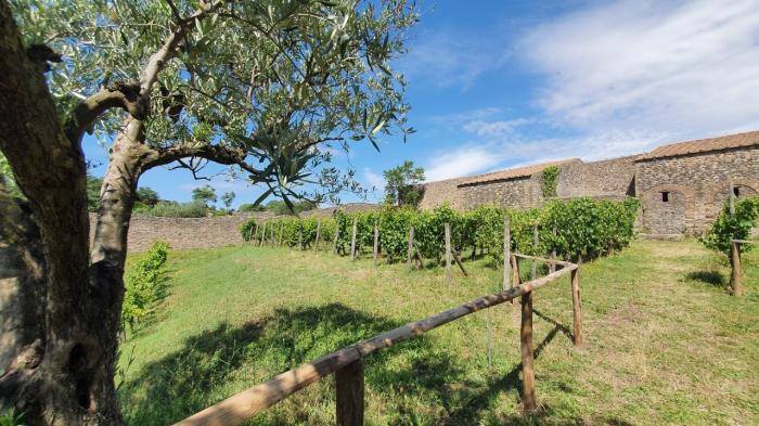
The central part of Regio I remains unexcavated. Of the 23 insulae in the area, insulae 4, 6, 7, 9, 10, and 15 contain properties of particular interest and are examined here in more detail. The area is a general mix of commercial and domestic properties with tabernas, fullonicas and shops rubbing shoulders with some quite impressive houses.
(text taken from sites.google.com/site/ad79eruption/pompeii/regio-i)
Nearby cities:
Coordinates: 40°44'59"N 14°29'26"E
- Coast of Amalfi 12 km
- Salerno 21 km
- Avellino 31 km
- Avellino 31 km
- Napoli 35 km
- Eboli 37 km
- Volturara Irpina Municipality 38 km
- Pozzuoli Municipality 41 km
- Battipaglia 42 km
- Campania 104 km
- Ruins of Pompeii 0.2 km
- Triangular Forum 0.3 km
- Regio VIII 0.4 km
- Forum 0.5 km
- Necropolis 0.5 km
- Cicero's villa 0.9 km
- Railroad Station Pompei Scavi-Villa dei Misteri 0.9 km
- Camping Zeus 0.9 km
- Necropolis 0.9 km
- Campania 25 km