US Route 191


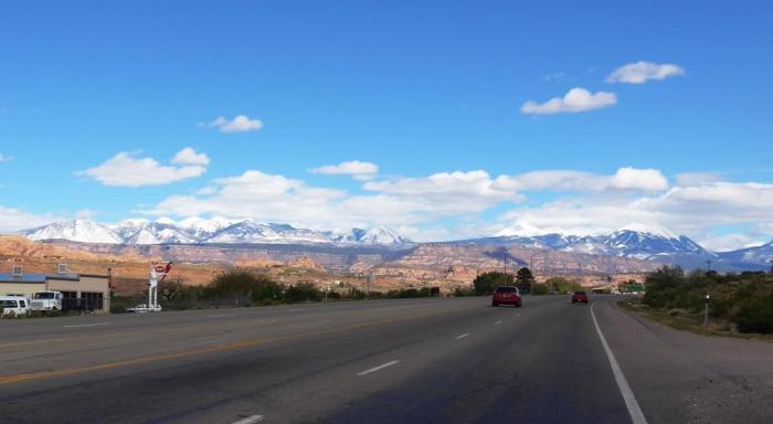
US 191 serves the eastern half of the state. The highway passes through mostly desolate areas of eastern Utah.
US Route 191, related objects
Wikipedia article: http://en.wikipedia.org/wiki/U.S._Route_191
Nearby cities:
Coordinates: 37°58'0"N 109°21'25"W
- Latigo Wind Farm 8.2 km
- Monticello Uranium Mill Tailings Repository 13 km
- Abajo Mountains 19 km
- Reservoir Wall 21 km
- Blue Mountain Scout Camp 27 km
- Lisbon Valley Mining 27 km
- Bogus Pocket 32 km
- La Sal, Utah 38 km
- Canyonlands National Park 55 km
- Paradox Valley 59 km
- North Main Street (US Highway 191) 9 km
- North 200 West 10 km
- West 100 North 10 km
- East Center Street (US Highway 491) 11 km
- West 400 South 11 km
- East 400 South 11 km
- South Main Street 11 km
- South Main Street (US Highway 191) 11 km
- South 200 West 11 km
- East 300 South (Monticello Cemetery Road) 11 km