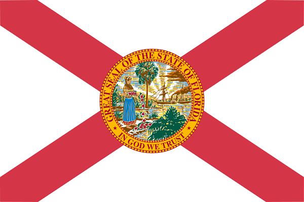
Floride
USA /
Florida /
Indian Shores /
World
/ USA
/ Florida
/ Indian Shores
Monde
état, invisible, découpage administratif (premier niveau)
Villes proches:
Coordonnées : 27°44'48"N 83°49'52"W
Array