Bristol Harbour (Bristol)
United Kingdom /
England /
Bristol
World
/ United Kingdom
/ England
/ Bristol
World / United Kingdom / England
water, harbour
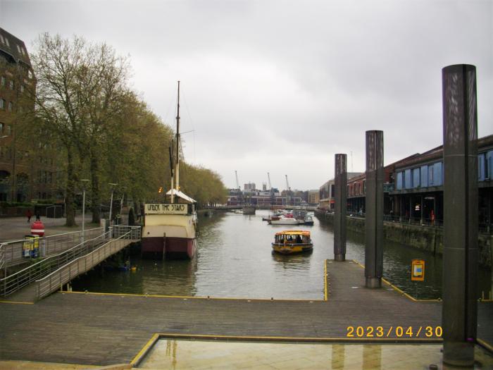
Nicknamed the Floating Harbour as the water level remains virtually constant and unaffected by tides. It was formed in the early 19th century by gating off a section of the river, and digging a bypass channel. Much of the engineering works were carried out by French prisoners of war.
Wikipedia article: http://en.wikipedia.org/wiki/Bristol_Harbour
Nearby cities:
Coordinates: 51°27'2"N 2°35'55"W
- Barrow Tanks 6.4 km
- Barrow Tanks 7 km
- Royal Edward Dock - Eastern Arm 10 km
- Mouth of the River Avon 11 km
- Royal Portbury Dock - Port of Bristol 11 km
- Chew Valley Lake 11 km
- Blagdon Lake 14 km
- Severn Estuary / Mouth of the Severn 19 km
- Cheddar Reservoir 24 km
- Mells Park Lake 26 km
- Bristol City Centre 0.3 km
- Queen Square 0.3 km
- The Centre 0.4 km
- Wapping Wharf 0.4 km
- The Old City (North) 0.6 km
- Redcliffe 0.6 km
- Spike Island 0.8 km
- Bedminster 1.3 km
- Clifton 1.7 km
- Somerset 44 km