Lavrentiya
Russia /
Chukotka /
Lavrentiya /
World
/ Russia
/ Chukotka
/ Lavrentiya
, 0 km from center (Лаврентия)
World
village
Add category
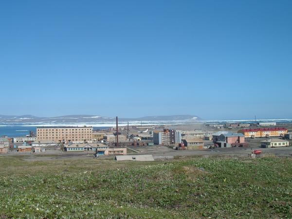

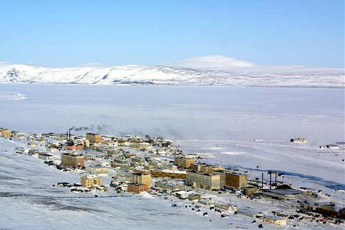

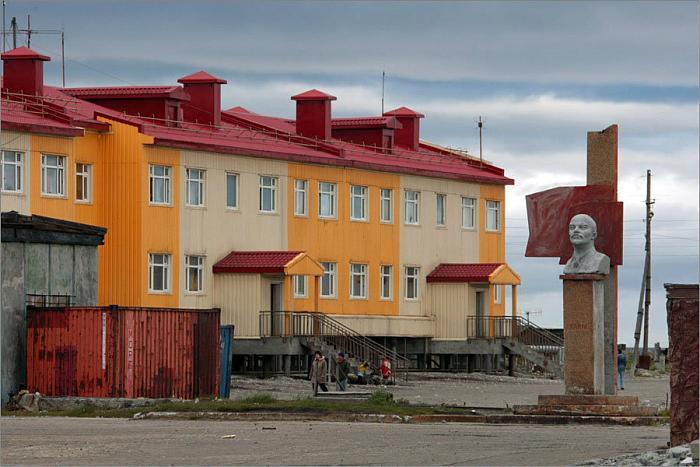
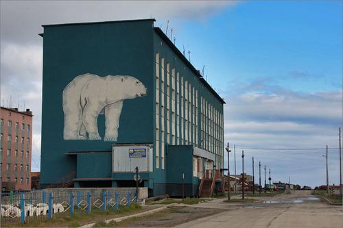
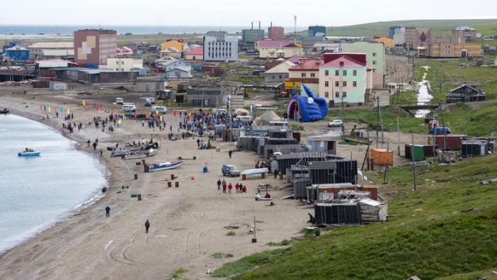
Lavrentiya (Russian: Лавре́нтия, Yupik: Ӄышы; Chukchi: Ӄытрын) is a rural locality (a selo) and the administrative center of Chukotsky District of Chukotka Autonomous Okrug, Russia, located on Lavrentiya Bay, close to the Bering Strait. Population: 1,459 (2010 Census); 1,333 (2002 Census) 3,012 (1989 Census). Lavrentiya is the only district administrative center in the whole autonomous okrug that does not have urban status; it accounts for 30.2% of the district's total population. In Lavrentiya located the easternmost airport of continental world, the Lavrentiya Airport UHML .
Wikipedia article: http://en.wikipedia.org/wiki/Lavrentiya
Nearby cities:
Coordinates: 65°34'49"N 171°0'1"W
- Clear, AK 1025 km
- Willow, AK 1107 km
- Big Lake, AK 1123 km
- Meadow Lakes, AK 1133 km
- Knik-Fairview, AK 1136 km
- Kalifornsky, Alaska 1140 km
- Lakes, AK 1146 km
- Gateway, AK 1148 km
- Sterling, Alaska 1150 km
- Chugiak, AK 1151 km
- Saint Lawrence Bay 15 km
- Koolyon Lake 42 km
- Beringia National Park 71 km
- Nepygellen Mountain 77 km
- Uelen Lagoon 79 km
- Inchoun Lagoon 80 km
- Bering Strait 85 km
- Ratmanov Island (Big Diomede Island) 92 km
- Diomede Islands 94 km
- Little Diomede Island, Alaska 97 km