Lake Uluabat
| wetland, Ramsar site
Turkey /
Bursa /
Mustafakemalpasa /
World
/ Turkey
/ Bursa
/ Mustafakemalpasa
World / Turkey / Bursa
lake, wetland, Ramsar site
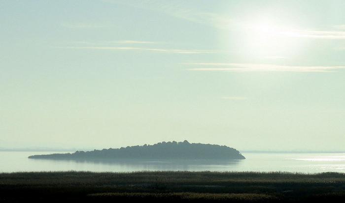
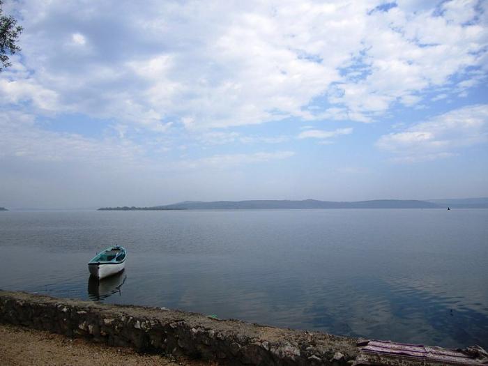
A large lake, covering an area of between 135 and 200 km² depending on the water level, but very shallow, being only 3 m deep at its deepest point. A large nutrient-rich lake that includes four islands. One of Turkey's richest wetlands in terms of aquatic plants. Human activities include fishing and agriculture.
source: www.ramsar.org/cda/en/ramsar-documents-list-anno-turkey...
source: www.ramsar.org/cda/en/ramsar-documents-list-anno-turkey...
Wikipedia article: http://en.wikipedia.org/wiki/Lake_Uluabat
Nearby cities:
Coordinates: 40°9'44"N 28°35'21"E
- Doğancay Pond 31 km
- Lake İznik 74 km
- Boğazköy Dam 77 km
- Yuvacık Reservoir 129 km
- Enne Dam 131 km
- Tahtali Reservoir 138 km
- Sapanca Lake 147 km
- Davuldere Reservoir 148 km
- Toramanlar Reservoir 156 km
- Kunduzlar Reservoir 188 km
- Halilbey Island 1.2 km
- Mutlu Island 4 km
- Apollonia ad Rhyndacum 8.8 km
- Hasanağa 17 km
- Kayapa 20 km
- Nilüfer District 20 km
- Kestelek boron mine 25 km
- Bursa Province 38 km
- Orhaneli District 42 km
- Bursa Metropolitan Municipality 42 km