Porangatu
Brazil /
Goias /
Porangatu /
World
/ Brazil
/ Goias
/ Porangatu
World / Brazil / Goiás / Porangatu
city, municipality
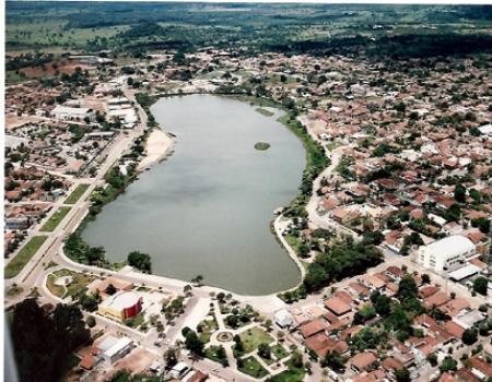
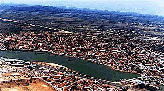
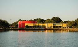

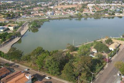
Parangatu is a town in Goiás state, Brazil. The first settlement began in the eighteenth century with the discovery of gold in the region. Attacks from the local Indians, the Canoeiros, kept the settlement, called Descoberto, from developing. Until 1933 it was a district belonging to Pilar de Goiás, when it became part of the municipality of Santana, later changed to Uruaçu. In 1943 Descoberto was changed to Porangatu, from Tupi-Guarani, meaning "poran", beautiful, and "gatu", landscape. In 1948 it was dismembered from Uruaçu. With the building of the Belem to Brasília highway (BR-153) in 1958 Porangatu grew quickly to become the most important commercial center of this new region that was opening up to migrants from the south.
Wikipedia article: http://en.wikipedia.org/wiki/Porangatu
Nearby cities:
Coordinates: 13°26'19"S 49°9'28"W
- Campinorte 23 km
- Santa Terezinha de Goiás 98 km
- Novo Planalto 103 km
- Goianésia 174 km
- Cocalzinho de Goiás 216 km
- Pirenópolis 230 km
- Alvorada do Norte 263 km
- Itaberaí 278 km
- Luziânia 308 km
- Unaí 320 km
- School 1.1 km
- Square 1.2 km
- Square 1.6 km
- Gas Station 2.8 km
- Aeroporto Porangatu 3.8 km
- Runway 14/32 3.8 km
- Cemetery of Santa Tereza de Goiás 34 km
- Square 34 km
- Cemetery 48 km
- Serra da Mesa Reservoir Lake 106 km