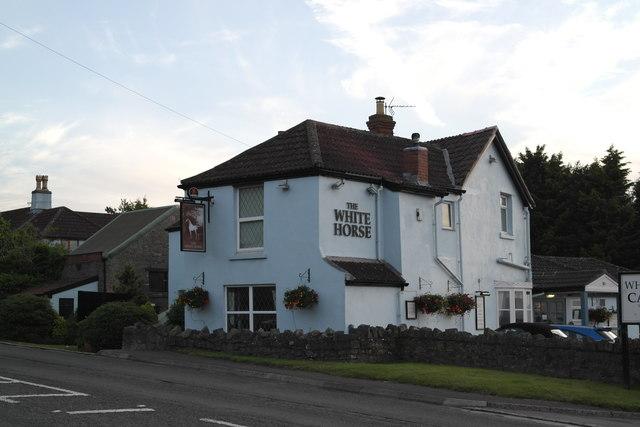
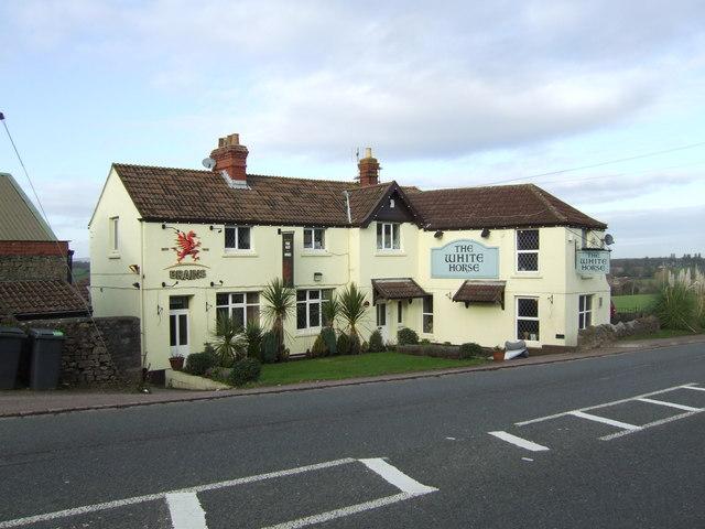
White Horse
United Kingdom /
England /
Charfield /
A38
World
/ United Kingdom
/ England
/ Charfield
pub / public house
Add category
Nearby cities:
Coordinates: 51°36'40"N 2°29'12"W
- The Leap 12 km
- Griffin 17 km
- The Albion 25 km
- The King of Wessex Restaurant 27 km
- New Inn 29 km
- Hungry Horse - Lord Nelson 32 km
- Bath Arms Hotel (closed) 42 km
- The Slab House Inn (Derelict) 43 km
- Chalford 45 km
- The Red Lion PH 54 km
- Tower Hill Solar Farm 1.2 km
- Tower Hill Solar Farm 1.5 km
- Tytherington Quarries 1.7 km
- Chantry Field 2.6 km
- The Castle School 2.7 km
- Thornbury Leisure Centre 3 km
- Mundy Playing Fields 3 km
- Thornbury Golf Club 3.7 km
- Marlwood School 4.1 km
- Electricity substation 4.7 km