Braine-l'Alleud (municipality)
Belgium /
Brabant Wallon /
Braine-lAlleud /
World
/ Belgium
/ Brabant Wallon
/ Braine-lAlleud
World / Belgium / Wallonie / Brabant Wallon / Nivelles
municipality, draw only border

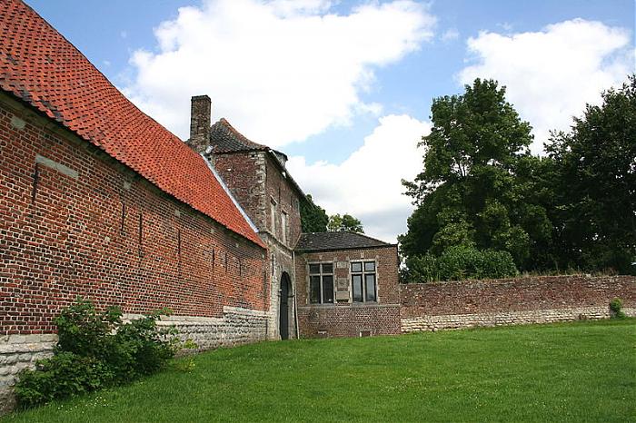

Braine-l'Alleud (French pronunciation: [bʁɛn lalø]; Dutch: Eigenbrakel [ˈɛi̯ɣə(n)ˌbraːkəl]; Walloon: Brinne-l'-Alou) is a municipality of Wallonia located in the province of Walloon Brabant, Belgium, about 20 kilometres (12 miles) south of Brussels.
The municipality consists of the following districts: Braine-l'Alleud (including the hamlet of Sart-Moulin), Lillois-Witterzée, and Ophain-Bois-Seigneur-Isaac. Bordering Flanders, the town is home to a minority of Dutch speakers.
The municipality consists of the following districts: Braine-l'Alleud (including the hamlet of Sart-Moulin), Lillois-Witterzée, and Ophain-Bois-Seigneur-Isaac. Bordering Flanders, the town is home to a minority of Dutch speakers.
Wikipedia article: http://en.wikipedia.org/wiki/Braine-l'Alleud
Nearby cities:
Coordinates: 50°40'48"N 4°21'22"E
- Genappe (municipality) 2.7 km
- Beaumont (municipality) 45 km
- Philippeville (Municipality) 51 km
- Doische (Municipality) 55 km
- Chimay (Municipality) 62 km
- Viroinval (Municipality) 64 km
- Beauraing (Municipality) 66 km
- Momignies 70 km
- Gedinne 76 km
- Vresse-sur-Semois (municipality) 90 km
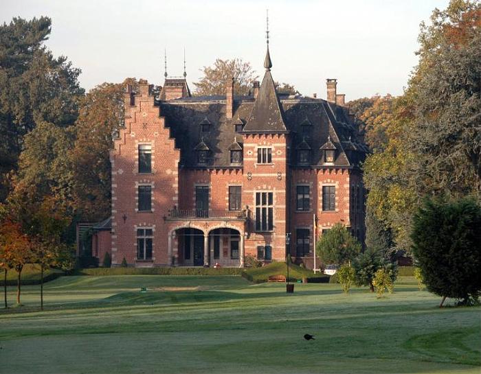
- Bois d'Ophain 1.3 km
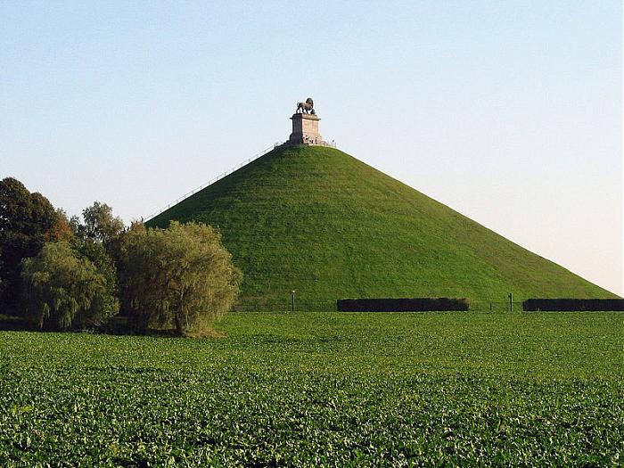
- Parc de l'Alliance 2.2 km
- Bois du Hautmont 2.5 km
- Haut-Ittre Interchange 3.9 km
- Golf Club 7 Fontaines 4.5 km
- Hallerbos - Bois de Hal 5.2 km
- Golf d’Hulencourt 5.5 km
- Forest 5.7 km
- Golf Chateau de la Tournette 7.4 km
- Sonian Forest 13 km