Bear Cove Ferry Terminal
Canada /
British Columbia /
Port Hardy /
World
/ Canada
/ British Columbia
/ Port Hardy
World / Canada / British Columbia / Mount Waddington
ferry terminal, BC Ferries

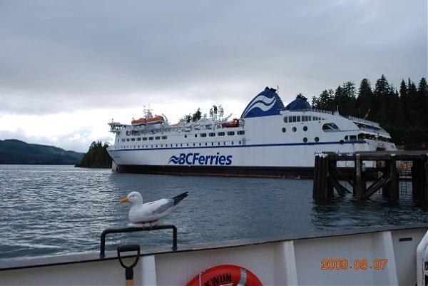
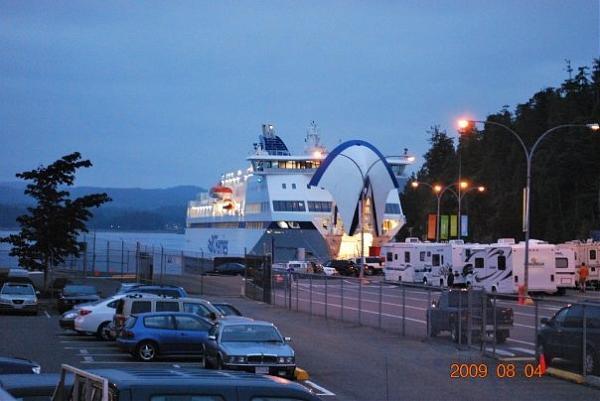
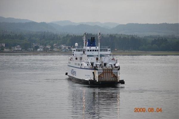
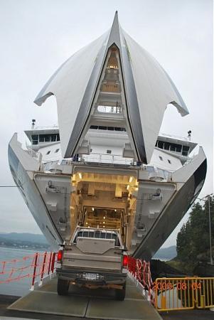
Photo captions:
Photo1: Northern Expedition at Bear Cove. Her bow raises to load vehicles, then lowers to sail.
Photo2: Driving onto the Northern Expedition at Bear Cove
Photo3: Queen of Chilliwack waiting to enter Bear Cove Terminal
Photo4: Northern Adventure
Photo5: This is the Nicola. She is a sistership of the Nimpkish, therefore she looks exactly the same.
Built: 1979 by BC Ferries after the highway to Port Hardy was completed.
This is the terminus of two different ferry routes, served by 4 different ferries.
The route to Prince Rupert is served by the Northern Expedition in the Summer, and both the Northern Expedition and the Northern Adventure in the Winter, Spring, and Fall. The Discovery Coast Passage route stops at 7 small native villages along the way, and is served by the Queen of Chillwack, Nimpkish regularily, and the Northern Expedition and Northern Adventure at times when one of the other two are not available to sail.
Nearby cities:
Coordinates: 50°43'28"N 127°27'20"W
- Departure Bay Ferry Terminal 303 km
- Horseshoe Bay Ferry Terminal 334 km
- Horseshoe Bay 334 km
- Tsawwassen Ferry Terminal 364 km
- BC Ferries Swartz Bay Terminal 369 km
- Melanie Bay and Ferry Dock 378 km
- Kootenay Lake Ferry 756 km
- Plante's Ferry Park 814 km
- Riverhurst Ferry 1438 km
- World Cruise Center 2032 km
- Port Hardy 2.4 km
- Island Copper mine 14 km
- Marble River Provincial Park 20 km
- Drake Island 27 km
- Alice Lake 29 km
- Quatsino Provincial Park 36 km
- Victoria Lake 41 km
- Side Bay 54 km
- Lawn Point Provincial Park 56 km
- Brooks Peninsula Marine Provincial Park 62 km