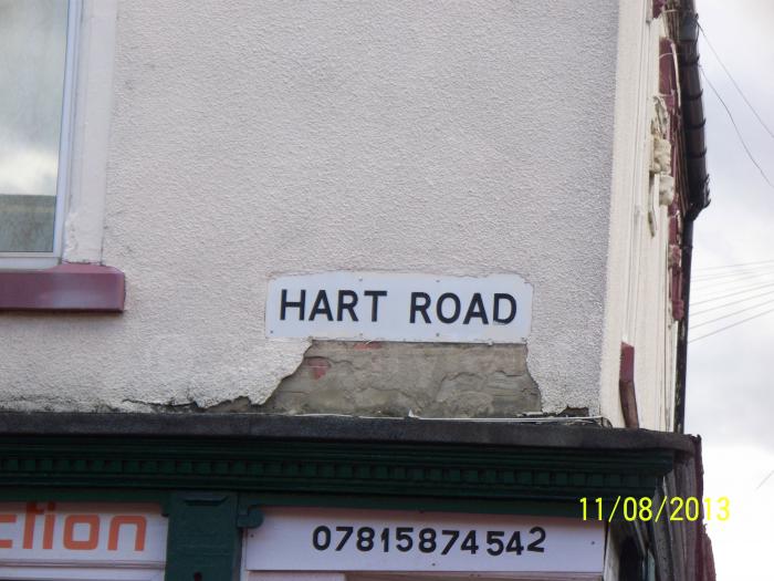
Hart Road (Leicester)

Situated in the Highfields area of Leicester, Hart Road is a residential street road with low levels of traffic filtering through the area and it is consisted of residential terraced houses. Hart Road can only be entered from a junction with Maynard Road and exited onto Florence Road.
Hart Road, related objects
Nearby cities:
Coordinates: 52°38'12"N 1°6'46"W
- Millingtons 0.4 km
- The Junction 0.5 km
- Spinney Hill Park 0.5 km
- The Junction - St. Georges Retail Park 0.5 km
- Uplands Infant & Junior School 0.6 km
- The Junction - patron parking 0.6 km
- Cobden Industrial Estate 0.6 km
- Highfields 0.6 km
- Moat Community College 0.7 km
- St Matthews 0.9 km
- Bedford Street North 1.1 km
- Headland Road 2.5 km
- Stanley Drive 2.5 km
- B667 Evington Lane 2.6 km
- Thurmaston Lane 2.8 km
- Lower Keyham Lane 2.9 km
- A47 Uppingham Road 3.2 km
- Netherhall Road 3.7 km
- B582 New Street 4.8 km
- Gartree Road 6.4 km