P-10
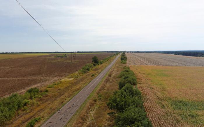
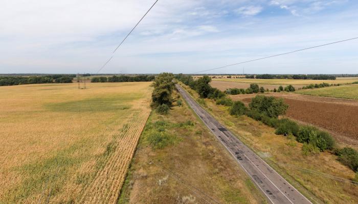
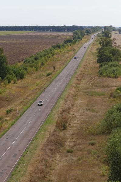
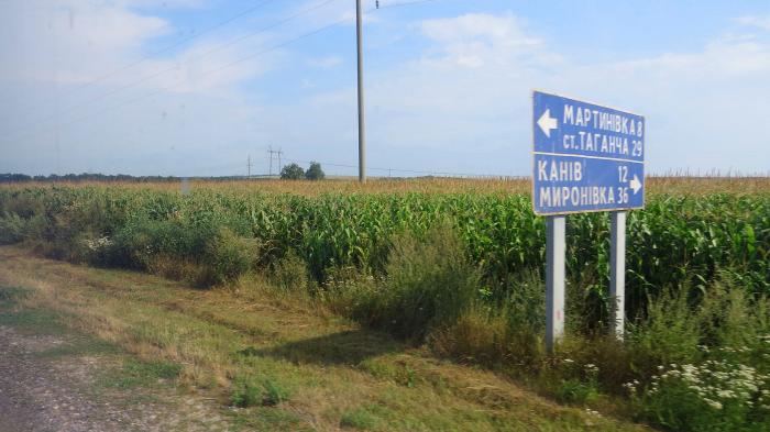
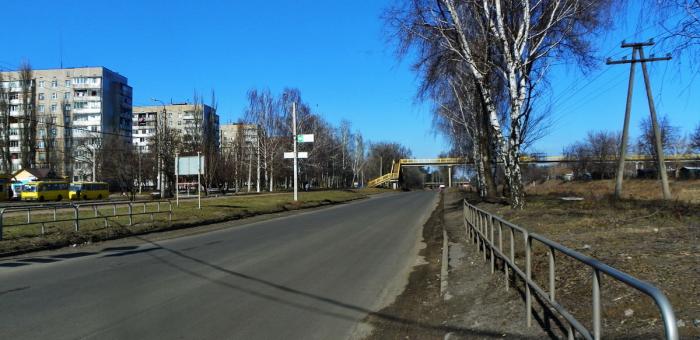
Kaniv - Chyhyryn - Kremenchuk.
Length is 176.6 km, total length with a road to Subotiv is 195,6 km.
Length is 176.6 km, total length with a road to Subotiv is 195,6 km.
P-10, related objects
Nearby cities:
Coordinates: 49°15'23"N 32°18'2"E
- Bir Stow 2.9 km
- Dubyna Stow 3.1 km
- Khudoliivka Foresty 5 km
- Chornyavka Forestry 8 km
- Chyhyryn Raion 23 km
- Cherkasy Raion 33 km
- vulytsia Nebesnoi Sotni 17 km
- vulytsia Peremohy 17 km
- Yuvileyny provulok 17 km
- vulytsia Soborna 18 km
- vulytsia Chyhyrynskyi Shliakh 18 km
- vulytsia Danyla Narbuta 18 km
- vulytsia Illi Idelia 18 km
- vulytsia Heroiv Kholodnoho Yaru 21 km
- vulytsia Leitenanta Mukana 23 km
- H-01 48 km