ulitsa Mira (Tobolsk)
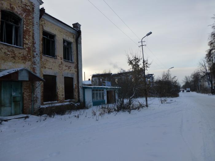
Peace Street
ulitsa Mira, related objects
Nearby cities:
Coordinates: 58°11'21"N 68°14'35"E
- Christmas Church (Church of Christmas Presvyatoy of the Virgin) 0.1 km
- ulitsa Yershova, 17 0.2 km
- Agricultural Academy (Branch), former Znamensky Male Monastery 0.3 km
- Pyatnitskaya Church 0.4 km
- Mosque 0.5 km
- The Governor's House Where The Imperial Family Were Held In Captivity 0.5 km
- Podgorny Tobolsk 1 0.5 km
- Territory of the school No. 15 0.6 km
- Secondary school No. 15 0.6 km
- Church of the Exaltation of the Cross 0.8 km
- ulitsa Dekabristov
- ulitsa Volodarskogo 0.4 km
- ulitsa Dzerzhinskogo 0.6 km
- ulitsa Lenina 1.8 km
- Pervormayskaya ulitsa 2.8 km
- ulitsa Semyona Remezova 4 km
- Shestoy mikrorayon 4.3 km
- Desyaty mikrorayon 4.7 km
- Sedmoy mikrorayon 4.8 km
- Р-404 road 111 km
Christmas Church (Church of Christmas Presvyatoy of the Virgin)
ulitsa Yershova, 17
Agricultural Academy (Branch), former Znamensky Male Monastery
Pyatnitskaya Church
Mosque
The Governor's House Where The Imperial Family Were Held In Captivity
Podgorny Tobolsk 1
Territory of the school No. 15
Secondary school No. 15
Church of the Exaltation of the Cross