Pasig Line
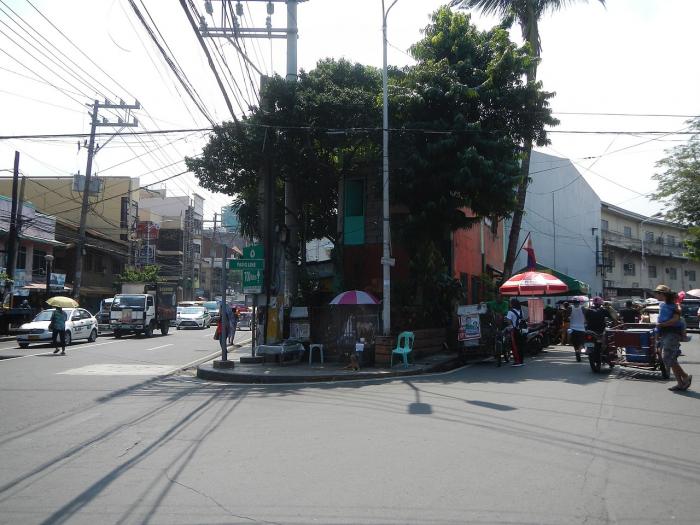
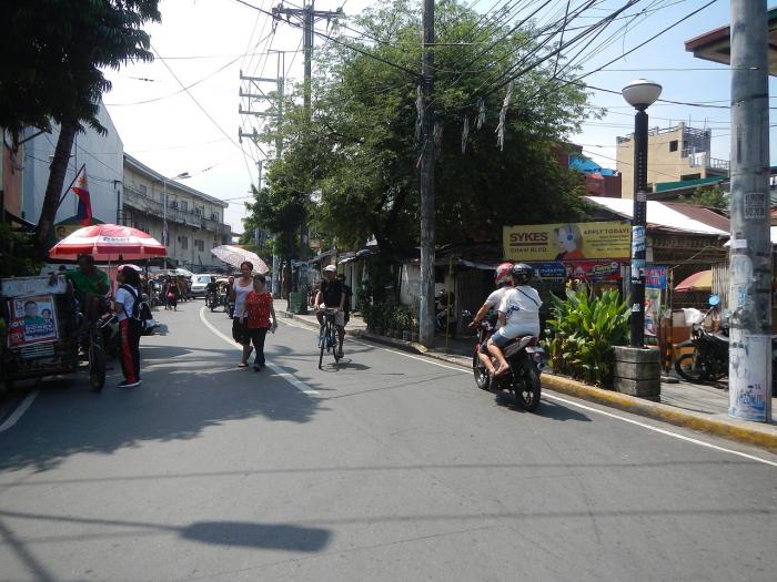
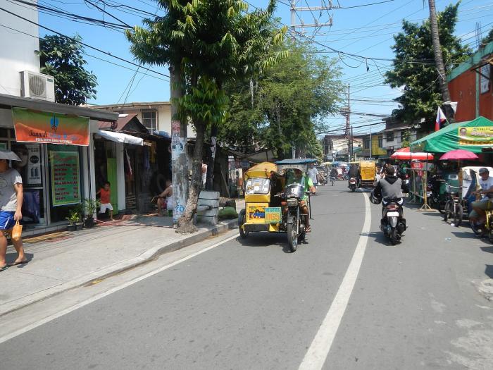
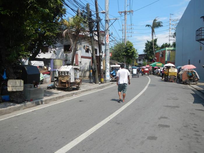
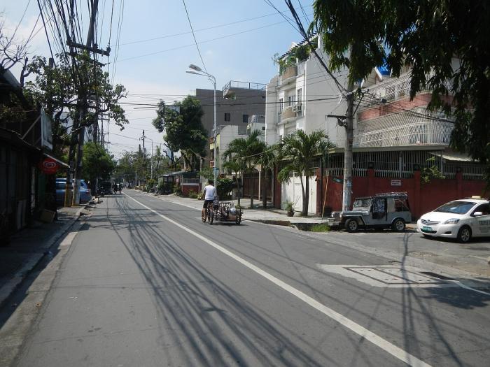
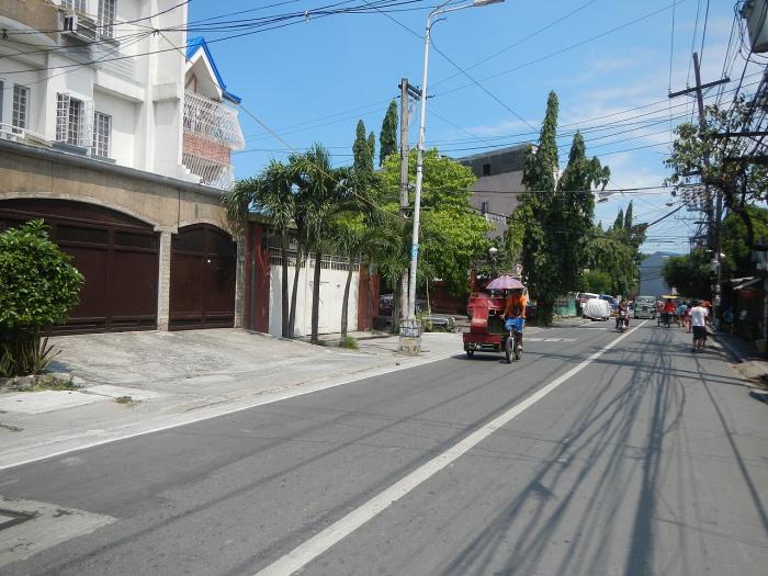
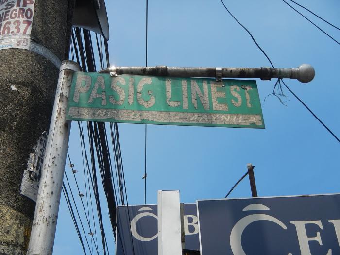
R-4 begins as Pasig Line Street in Santa Ana district from the intersection with Pedro Gil Street to where it connects to Kalayaan Avenue at the city's border with Makati. This segment of R-4 is named for the old Manila Electric Railway line destroyed and abandoned after World War II which connected Manila with San Joaquin, Pasig
Pasig Line, related objects
Nearby cities:
Coordinates: 14°34'36"N 121°0'29"E
- Manila Rivercity Residences 0.5 km
- Santa Ana Elementary School 0.5 km
- Mariano Marcos Memorial High School 0.6 km
- Santa Ana de Sapa Heritage Zone 0.6 km
- Tejeros Bliss 0.7 km
- San Andres 0.8 km
- Santa Ana 0.8 km
- Punta 1.4 km
- Pandacan 1.4 km
- Paco 1.7 km
- Zapote 1.4 km
- Senator Gil Puyat Avenue (N190) 2 km
- Ayala Avenue 2.7 km
- Makati Avenue 2.8 km
- Mendiola 2.9 km
- P. Casal (N180 / C-1) 2.9 km
- Roxas Boulevard (N61/R-1) 3.5 km
- Carlos P. Garcia Avenue (N11/C-5) 6.3 km
- Periwinkle 16 km
- Sugar Road 31 km