Paco (Manila)
Philippines /
National Capital Region /
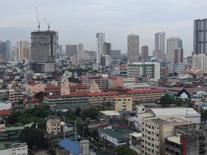
Manila
World
/ Philippines
/ National Capital Region
/ Manila
World / Philippines / Metropolitan Manila / Manila
district, draw only border, city district
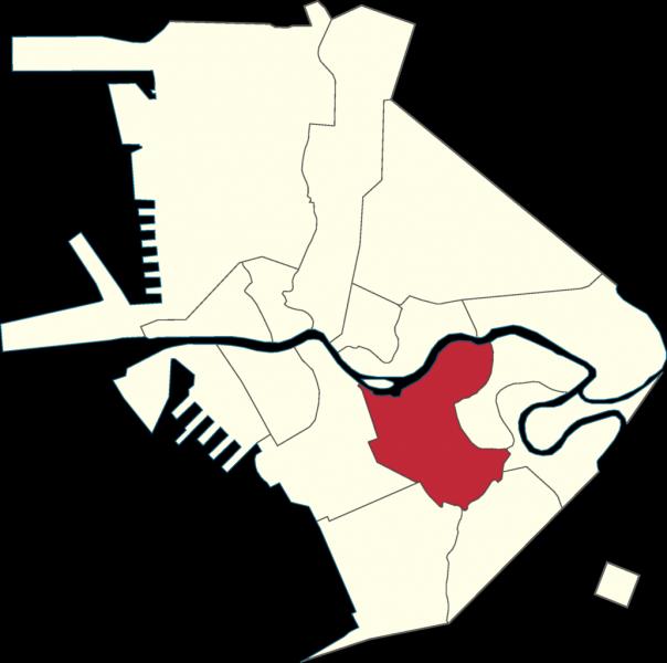
Paco was formerly known as Dilao because of plants that produce yellow color, were once plentiful in this district. The name Dilao was used until 1791 at the time of Governor-General Félix Berenguer de Marquina governorhsip. The words San Fernando was added before the old name, making it San Fernando de Dilao. It became to known as Paco de Dilao and eventually as Paco as it known today.
Wikipedia article: http://en.wikipedia.org/wiki/Paco,_Manila
Nearby cities:
Coordinates: 14°35'9"N 120°59'46"E
- Tondo 9 km
- Diliman 12 km
- Camarin 21 km
- Lucena City North District 92 km
- Lucena City East District 95 km
- Lucena City South District 96 km
- Bonuan District 184 km
- Brgy Patabog, Mulanay Quezon 198 km
- Helsey 328 km
- Zapatos Islands 380 km
- Peninsula Garden Midtown Homes 0.1 km
- Otis 888 Residences 0.2 km
- Unilever Philippines 0.4 km
- Midtown Executive Homes 0.5 km
- Acropolis Manila 0.5 km
- DBM Procurement Service Compound 0.6 km
- Malacañang Golf Club 0.8 km
- Malacañang Park 0.9 km
- Presidential Security Group Complex 1 km
- National Development Company Property 1.5 km
Comments