Nederkouter (Ghent)


Formerly called 'Sint-Pieters Nederkouter' as the street in 1795 belonged to Sint-Pieters village. Running from the 12th century defensive wall as an important in- and out- to the center, mainly commercial character (shops and stores).
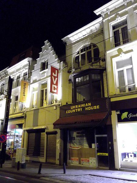
Numerous houses with old facade or core, but several old buildings have been replaced by disturbing new constructions
Numerous houses with old facade or core, but several old buildings have been replaced by disturbing new constructions
Nederkouter, related objects
Nearby cities:
Coordinates: 51°2'52"N 3°43'17"E
- Kouter 0.3 km
- Ghent University - Campus Plateau 0.3 km
- Royal Academy of Fine Arts 0.4 km
- Campus Bijloke 0.5 km
- Sint-Pietersplein 0.7 km
- Quarters Leopoldskazerne 0.8 km
- Koning Albert Park 0.8 km
- Muinkpark 0.9 km
- Our-Lady Ter Hooyen beguinage 1 km
- De Visserij 1.1 km
- Gaspar De Craeyerstraat 0.7 km
- Botermarkt 0.7 km
- Nieuwewandeling 1.4 km
- Krijgslaan 2.3 km
- Harelbekestraat 2.4 km
- Sneppenbrugstraat 2.7 km
- Latemstraat 7.4 km
- A10 (E40) 7.9 km
- Lichterveldestraat 9 km
- Kwatrechtsteenweg 11 km