A6 London Road (Leicester)
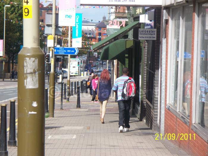
Part of the A6 road network, London Road is a very busy road that leads in and out of the city of Leicester. The road starts from a junction with Waterloo Way and then it leads outside from the city, towards Kibworth Harcourt.
A6 London Road, related objects
Wikipedia article: http://en.wikipedia.org/wiki/A6_road_(England)#Kettering.E2.80.93Leicester
Nearby cities:
Coordinates: 52°37'23"N 1°6'52"W
- Victoria Park 0.3 km
- De Montfort University Charles Frear Campus 0.4 km
- Medway Community Primary School 0.6 km
- Victoria Tennis Club 0.8 km
- Leicester Islamic Academy 0.8 km
- Sparkenhoe Community Primary School 0.8 km
- Pak Foods Cash & Carry 1 km
- Roundhill Tennis Club 1 km
- Highfields 1 km
- Madani High School & Masjid 1.2 km
- Headland Road 2.1 km
- B667 Evington Lane 2.1 km
- Bedford Street North 2.2 km
- Stanley Drive 3.4 km
- A47 Uppingham Road 3.5 km
- B582 New Street 3.6 km
- Lower Keyham Lane 3.9 km
- Thurmaston Lane 4 km
- Netherhall Road 4.6 km
- Gartree Road 5.7 km