Via Dolorosa (Jerusalem)


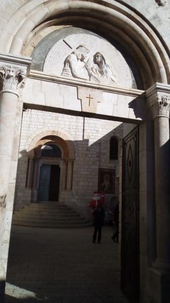
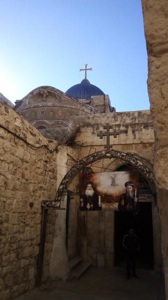


The Via Dolorosa (Latin: Via Dolorosa, Hebrew: ויאה דולורוזה, Arabic: طريق الآلام) - "Way of Grief" - is a street within the Old City of Jerusalem, held to be the path that Jesus walked, carrying his cross, on the way to his crucifixion.
Via Dolorosa, related objects
Wikipedia article: http://en.wikipedia.org/wiki/Via_Dolorosa
Nearby cities:
Coordinates: 31°46'49"N 35°14'0"E
- Muslim Quarter
- Mount Moriah 0.1 km
- The Old City of Jerusalem 0.3 km
- Mount Zion 0.8 km
- Mamilla 1.2 km
- City Center 2 km
- East Jerusalem 2.1 km
- Gush Etzion 14 km
- Judea and Samaria ("West Bank") 19 km
- Judea 24 km
- Shlomtzion Hamalka 1.1 km
- Ben Yehuda 1.7 km
- Jaffa Road 2.1 km
- Betzalel 2.1 km
- Herzog 3.4 km
- Herzl Boulevard 4.2 km
- Kanfei Nesharim 4.6 km
- Manger Square 8.8 km
- 443 16 km
- Highway 90 32 km