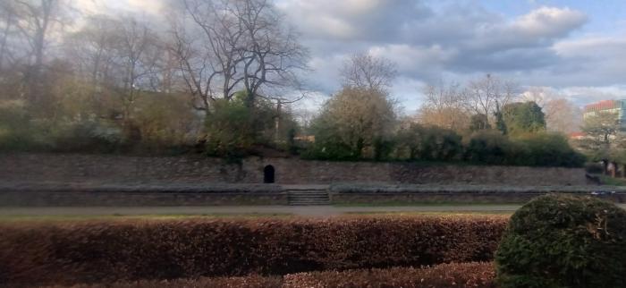
Hindenburgfestung (Cologne)
Germany /
Nordrhein-Westfalen /
Cologne /
Hans-Abraham-Ochs-Weg
World
/ Germany
/ Nordrhein-Westfalen
/ Cologne
World / Germany / Nordrhein-Westfalen / Köln
fortification, listed building / architectural heritage, 19th century construction
Wikipedia article: http://en.wikipedia.org/wiki/Paul_von_Hindenburg
Nearby cities:
Coordinates: 50°55'3"N 6°58'3"E
- Coal bunker 33 km
- Jülich Citadel 43 km
- Dragon's Teeth - Höckerlinie 68 km
- Orsoy Fort 71 km
- Sittard intra-muros 78 km
- The High Fronts 91 km
- Fort of Eben-Emael 92 km
- Peellinie - World War 2 defenses 105 km
- Peellinie - World War 2 defenses 106 km
- Peellinie - World War 2 defenses 108 km
- South Bridge 0.5 km
- Gustav-Heinemann-Ufer, 72 0.5 km
- Gustav-Heinemann-Ufer, 74 0.6 km
- Gasthaus Zur Eule 0.9 km
- Funny Red Building 1.1 km
- Köln-Neustadt-Süd 1.6 km