Buritizeiro
Brazil /
Minas Gerais /
Buritizeiro /
World
/ Brazil
/ Minas Gerais
/ Buritizeiro
World / Brazil / Minas Gerais / Buritizeiro
city, municipality
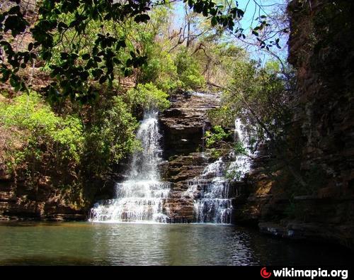
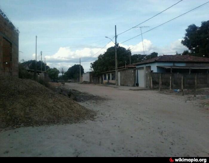
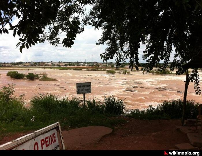
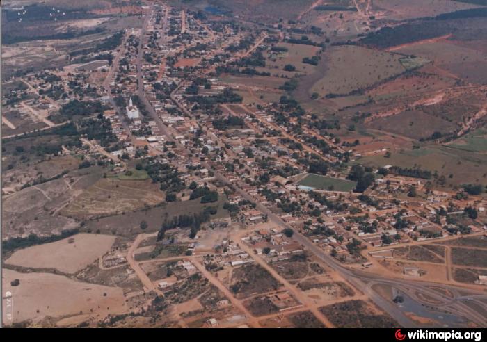
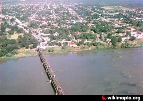
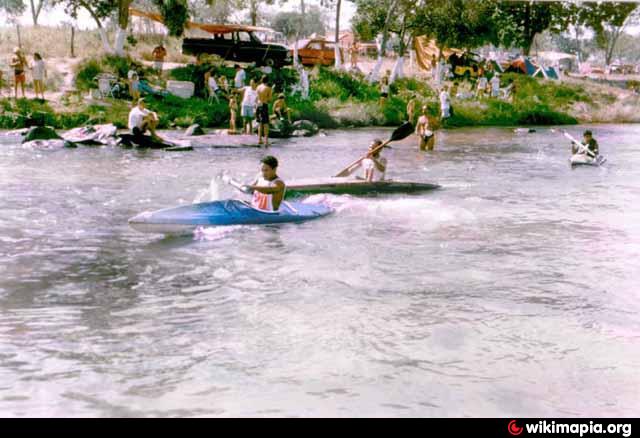
Buritizeiro is a municipality in the north of the Brazilian state of Minas Gerais. Its population in 2007 was 26,133 inhabitants in a total area of 7,226 km². It is a major producer of cattle and grains.
Official page: www.buritizeiro.mg.gov.br
Official page: www.buritizeiro.mg.gov.br
Wikipedia article: http://en.wikipedia.org/wiki/Buritizeiro
Nearby cities:
Coordinates: 17°21'45"S 44°58'18"W
- Pirapora 18 km
- Várzea da Palma 23 km
- Corinto - Minas Gerais - Brazil 120 km
- Montes Claros 137 km
- Diamantina 167 km
- Presidente Kubitschek 189 km
- Baldim - Minas Gerais - Brasil 214 km
- Guanhães 246 km
- Carmésia 252 km
- Açucena 300 km
- Cemetery 1.5 km
- Cemetery 3.4 km
- Electrical substation 5.4 km
- Gas Station 5.6 km
- Electrical substation 7.1 km
- Runway 13 km
- FORUM LOWLAND PALM 37 km
- Electrical substation 37 km
- Lowland Church of the Palm 37 km