Sagiada
| village
Greece /
Thesprotia /
Sayiada /
World
/ Greece
/ Thesprotia
/ Sayiada
, 1 km from center (Σαγιάδα)
World / Greece / Ipeiros
village
Add category
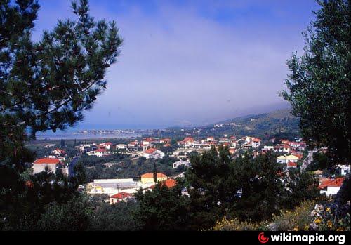
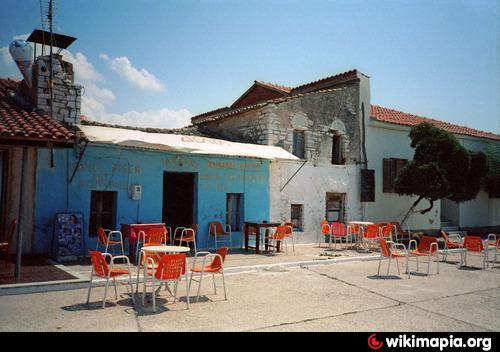
Sagiada (Greek: Σαγιάδα) is a village and a former municipality in Thesprotia, Epirus, Greece. Since the 2011 local government reform it is part of the municipality Filiates, of which it is a municipal unit. The municipal unit has an area of 87.803 km2. In 2011 its population was 594 for the village and 1,740 for the municipal unit. The seat of the municipality was in Asprokklisi. Sagiada stretches between the Ionian Sea to the west and Albania to the north. It is the westernmost point of mainland Greece. The river Thyamis flows into sea 4 km south of the village Sagiada. There are plains in the southern part of the municipal unit, and mountains on the Albanian border. The village Sagiada is 10 km west of Filiates, 15 km northwest of the capital of Thesprotia, Igoumenitsa, and 4 km south of the Albanian town of Konispol.
Sagiada is connected with the GR-19 that connects Preveza by the way of Paramythia, Filiates and Konispol, Albania. Albania is 4 km to the north.
Sagiada is connected with the GR-19 that connects Preveza by the way of Paramythia, Filiates and Konispol, Albania. Albania is 4 km to the north.
Wikipedia article: http://en.wikipedia.org/wiki/Sagiada
Nearby cities:
Coordinates: 39°37'26"N 20°11'22"E
- Parapotamos 13 km
- Mursi 15 km
- Syvota 23 km
- Dhivër 25 km
- Leshnicë e Poshtme 25 km
- Kavos 25 km
- Ksamil 25 km
- Perdika 28 km
- Agios Georgios 30 km
- Sidari 47 km
- Kindegarten 0.5 km
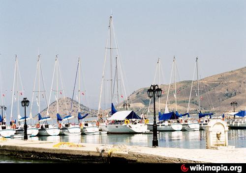
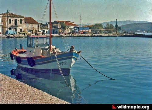
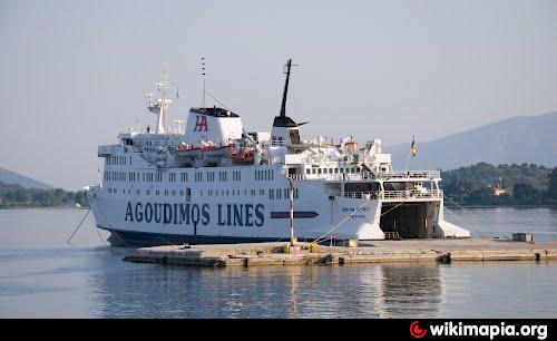
- Port 0.8 km
- Quay 0.8 km
- Mud Baths 0.9 km
- Cemetery 0.9 km
- Children Summer Campsite 1.3 km
- Sagiada Bay 2.3 km
- Cape Strovili 4.4 km
- Peripheral unit of Thesprotia 16 km
- Corfu 27 km