Khan Tengri
Kazakhstan /
Atyrau /
Koshkar /
World
/ Kazakhstan
/ Atyrau
/ Koshkar
World / Kyrgyzstan
mountain, summit, tripoint, Seven-Thousander


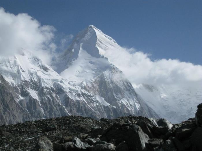
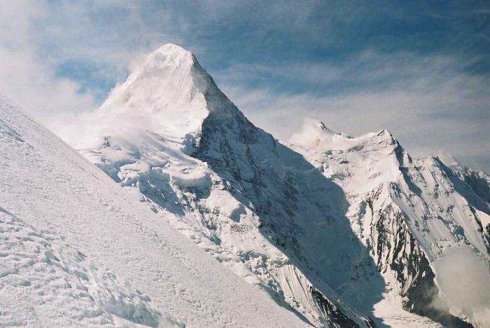


Khan Tengri (Uighur, translated as "Lord of the spirits", or "Lord of the sky"; or Turkic translated as "Ruler of Skies", "Ruler Tengri") is a mountain of the Tian Shan mountain range. It is located on the Kyrgyzstan—Kazakhstan border, east of lake Issyk Kul. Its geologic elevation is 6,995 m (22,949 ft) but its glacial cap rises to 7,010 m (22,999 ft). For this reason, in mountaineering circles, including for the Soviet Snow Leopard award criteria, it is considered a 7000-metre peak. It is also known as: Khan Tangiri Shyngy, Kan-Too Chokusu, Pik Khan-Tengry, Hantengri Feng.
Wikipedia article: http://en.wikipedia.org/wiki/Khan_Tengri
Nearby cities:
Coordinates: 42°12'38"N 80°10'28"E
- Severnyi Inylchek (Northern Inylchek) glacier 8.7 km
- Druzhba (Friendship) glacier 9 km
- "Zvezdochka" glacier 14 km
- Burial mounds 59 km
- Mengcheng Fortress 61 km
- Group of Korgan mounds 62 km
- Yanamax (6,357 m/20,856 ft) 72 km
- 75th Tuanchang 73 km
- Ancient city of Xiade 75 km
- Chahanwusu 76 km