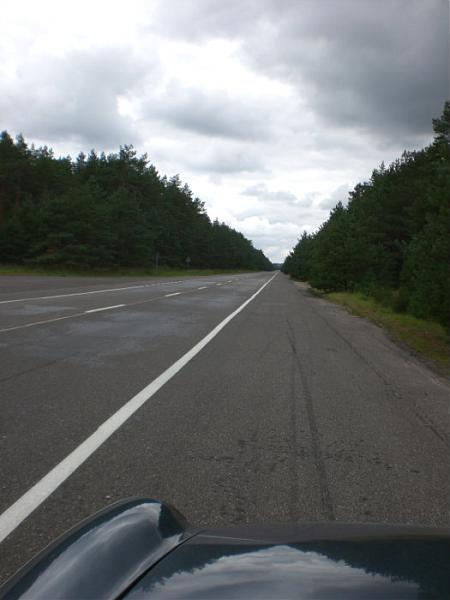
Former highway strip Dębnica Kaszubska
| highway strip / road runway
Poland /
Pomorskie /
Slupsk /
World
/ Poland
/ Pomorskie
/ Slupsk
World / Poland / Pomeranian
highway strip / road runway
Add category
Nearby cities:
Coordinates: 54°22'6"N 17°12'40"E
- Former highway airstrip 403 km
- Merin Highway Strip 561 km
- Landing Strip Tervo 1103 km
- Rotimojoki Highway Strip (Z11D) 1189 km
- Vidsel Highway Airstrip 1289 km
- Landing Strip Vuojärvi 1499 km
- Route, highway Maragheh - Hashtrood (under construction) 2901 km
- Unmaintained Seneca Portion of I-90 6658 km
- Padma Bridge 6828 km
- Vizianagaram Western Bypass / NH 26 6843 km
- Krzynia Mała 1.8 km
- Manor relicts 2.6 km
- Krzynia Reservoir 3.7 km
- Uliszkowice 12 km
- Starkówko 13 km
- Mielęcino 19 km
- Trzebielino Airfield 20 km
- Lake Trzebielińskie 21 km
- Obłęskie Lake 24 km
- Lipnik 25 km