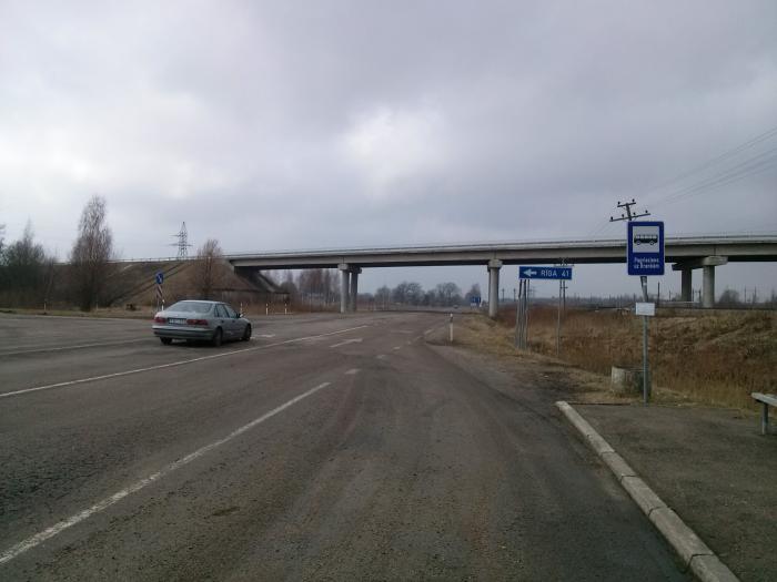
A8, P93, and V1068 roads junction (Āne)
Latvia /
Jelgava /
Āne
World
/ Latvia
/ Jelgava
/ Jelgava
World / Latvia / Zemgale
invisible, highway interchange / exit
Directions:
P93 Jelgava — Iecava;
A8 Jelgava — Riga;
V1068 Ozolnieki — Brankas — Brankstūri.
P93 Jelgava — Iecava;
A8 Jelgava — Riga;
V1068 Ozolnieki — Brankas — Brankstūri.
Nearby cities:
Coordinates: 56°39'8"N 23°48'9"E
- A118 Ring Road and M11 highway (Tallinskoye shosse) interchange 511 km
- M20 highway (Kiyevskoye shosse) and Volkhonskoye motorroad interchange 513 km
- A118 Ring Road, Western Rapid Diameter, Dachny avenue and Predportovaya street interchange 518 km
- A118 Ring Road and M20 highway (Pulkovskoye shosse) interchange 519 km
- A118 Ring Road and Sofiyskaya street interchange 525 km
- WRS, A118 Ring Road and Konnolakhtinskaya road interchange (UC) 529 km
- Reconstructed traffic intersection "Sokol" of the project "Big Leningradka" 851 km
- Sofrino junction 872 km
- Sergiyev Posad junction 878 km
- Pogranichnaya junction 891 km
- LDz infrastruktūra Ltd., Jelgava branch 0.8 km
- Valaku Pond 0.8 km
- Senču pond 0.9 km
- Valaki 1.3 km
- Langervalde forest 1.9 km
- Langervalde 1.9 km
- Rosība 2.6 km
- Pārlielupe 3.3 km
- Ozolnieki municipality 4.8 km
- Jaunsvirlauka parish 11 km