Iğdır Province (Iğdır)
Turkey /
Igdir /
Iğdır
World
/ Turkey
/ Igdir
/ Igdir
World / Turkey / Iğdır
province, invisible, first-level administrative division, draw only border
• Belediye / Municipality:
www.igdir.bel.tr
• Valilik / Governorate:
www.igdir.gov.tr
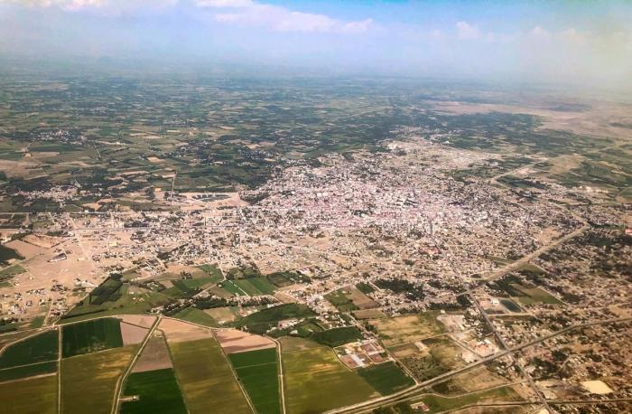
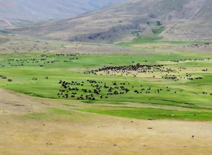
Iğdır Province (Turkish: Iğdır ili) is a province in eastern Turkey, located along the border with Armenia, Azerbaijan (the area of Nakhchivan Autonomous Republic), and Iran. Its adjacent provinces are Kars to the northwest and Ağrı to the west and south. It occupies an area of 3,587 km² and population of 184,418 (2010 est.), it was 168,634 in 2000 (up from 142,601 in 1990). It was created from southeastern part of former Kars Province in 1993. Around the border with Agri (Qerekose) Province, the population is kurdish, spread in villages through the highland of the mountains. The rest of the province, including the major cities, are mostly azeri.
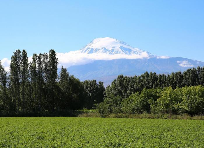
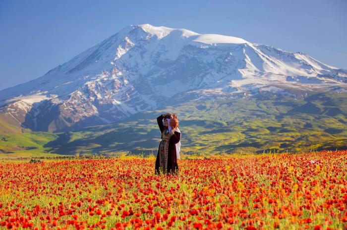
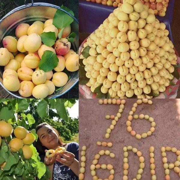
Turkey's highest mountain, Mount Ararat (Ağrı Dağı) is in Iğdır, but much of the land is a wide plain far below the mountain. The climate is the warmest in this part of Turkey, cotton can be grown in Iğdır. Iğdır is where Noah is said to have thrived following the flood. The border with Armenia follows the Aras River.
The provincial capital is the city of Iğdır.
Before the 1921 it was rather known as Surb-Mari (or Surmalu) district of Democraric Republic of Armenia and Russian Empire. In the Middle Ages and ancient era there was Maseatsotn district of greater Ayrarat province of Historical Armenia.
www.youtube.com/watch?v=Jzj5ZNNMsIo
www.igdir.bel.tr
• Valilik / Governorate:
www.igdir.gov.tr
Iğdır Province (Turkish: Iğdır ili) is a province in eastern Turkey, located along the border with Armenia, Azerbaijan (the area of Nakhchivan Autonomous Republic), and Iran. Its adjacent provinces are Kars to the northwest and Ağrı to the west and south. It occupies an area of 3,587 km² and population of 184,418 (2010 est.), it was 168,634 in 2000 (up from 142,601 in 1990). It was created from southeastern part of former Kars Province in 1993. Around the border with Agri (Qerekose) Province, the population is kurdish, spread in villages through the highland of the mountains. The rest of the province, including the major cities, are mostly azeri.
Turkey's highest mountain, Mount Ararat (Ağrı Dağı) is in Iğdır, but much of the land is a wide plain far below the mountain. The climate is the warmest in this part of Turkey, cotton can be grown in Iğdır. Iğdır is where Noah is said to have thrived following the flood. The border with Armenia follows the Aras River.
The provincial capital is the city of Iğdır.
Before the 1921 it was rather known as Surb-Mari (or Surmalu) district of Democraric Republic of Armenia and Russian Empire. In the Middle Ages and ancient era there was Maseatsotn district of greater Ayrarat province of Historical Armenia.
www.youtube.com/watch?v=Jzj5ZNNMsIo
Wikipedia article: http://en.wikipedia.org/wiki/Iğdır_Province
Nearby cities:
Coordinates: 39°53'17"N 44°3'13"E
- Northern Borders Region 1025 km
- Kerman Province 1276 km
- Riyadh Province 1430 km
- Balochistan Province 1742 km
- Punjab Province 2335 km
- Mahajanga Province 5983 km
- Toliara Province 6465 km
- East Kalimantan 7974 km
- Saskatchewan 8666 km
- Papua 10177 km
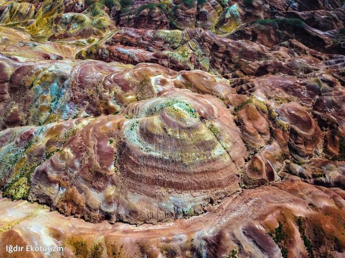
- Iğdır Plain 6.5 km
- Korgan (2545 m) 19 km
- Ararat valley 19 km
- Shamb Kogovta saline 23 km
- Northern canyon 25 km
- East Iğdır Plain 27 km
- Greater Ararat 29 km
- Surb Hagop canyon 30 km
- Doğubayazıt District 33 km
- Aras (Haykakan Par) Mountains 94 km