Å
Norway /
Nordland /
Sorvegen /
World
/ Norway
/ Nordland
/ Sorvegen
World / Norway / Nordland
village
Add category


Å is located in Nordland
Location in Nordland
Coordinates: 67°52′45″N 12°58′59″ECoordinates: 67°52′45″N 12°58′59″E
Country Norway
Region Northern Norway
County Nordland
District Lofoten
Municipality Moskenes
Elevation[1] 10 m (30 ft)
Time zone CET (UTC+01:00)
• Summer (DST) CEST (UTC+02:00)
Post Code 8392 Sørvågen
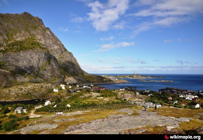
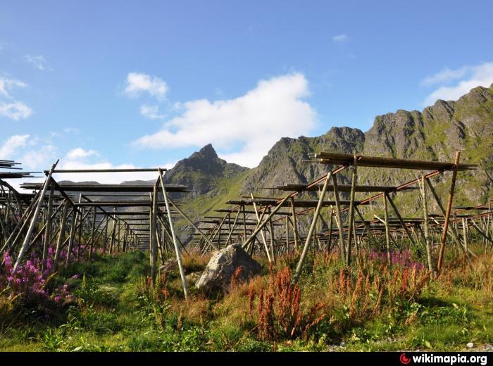
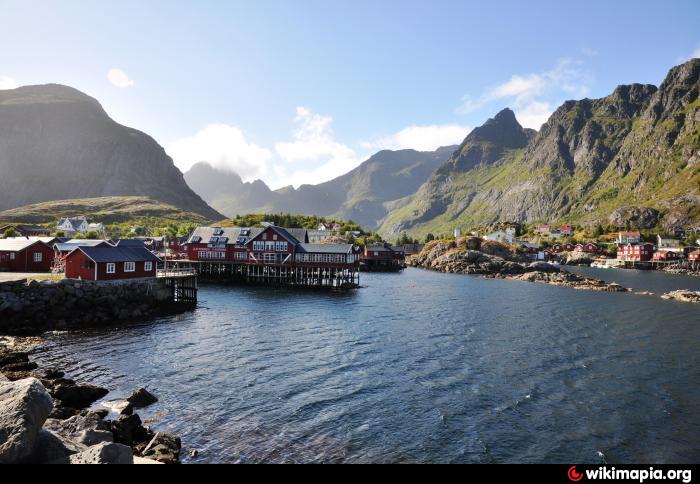
Å (Norwegian pronunciation: [oː], from å meaning "stream") is a village in the municipality of Moskenes in Nordland county, Norway. It is located towards the southern end of the Lofoten archipelago. It is connected to the rest of the archipelago by the European route E10 highway. This part of the highway is also called King Olav's Road.
Location in Nordland
Coordinates: 67°52′45″N 12°58′59″ECoordinates: 67°52′45″N 12°58′59″E
Country Norway
Region Northern Norway
County Nordland
District Lofoten
Municipality Moskenes
Elevation[1] 10 m (30 ft)
Time zone CET (UTC+01:00)
• Summer (DST) CEST (UTC+02:00)
Post Code 8392 Sørvågen
Å (Norwegian pronunciation: [oː], from å meaning "stream") is a village in the municipality of Moskenes in Nordland county, Norway. It is located towards the southern end of the Lofoten archipelago. It is connected to the rest of the archipelago by the European route E10 highway. This part of the highway is also called King Olav's Road.
Wikipedia article: http://en.wikipedia.org/wiki/Å,_Moskenes
Nearby cities:
Coordinates: 67°52'49"N 12°58'51"E
- Melbu 102 km
- Borkenes 164 km
- Dverberg 183 km
- Setermoen 245 km
- Porjus 308 km
- Jokkmokk 325 km
- Lake Kilpisjärvi 338 km
- Vittangi 363 km
- Arnøyhamn 389 km
- Kaaresuvanto (Finland) 397 km
- The Moskstraumen 11 km
- Nusfjord 23 km
- Storvatnet 24 km
- Værøy Plantation 26 km
- Værøy 28 km
- Leknes Airport 40 km
- Farstad 44 km
- Unstad surfing beach 50 km
- Lofotr Viking Museum 52 km
- Eggum 55 km
Comments