Gulf Of Chabahar
Iran /
Sistan-e Baluchestan /
Chabahar /
World
/ Iran
/ Sistan-e Baluchestan
/ Chabahar
, 13 km from center (چابهار)
World / Iran / Sistan and Baluchestan
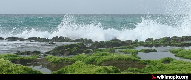
gulf, invisible
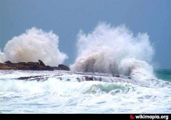
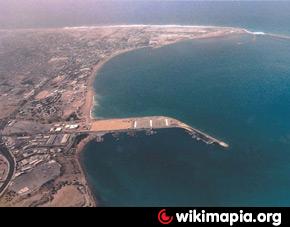

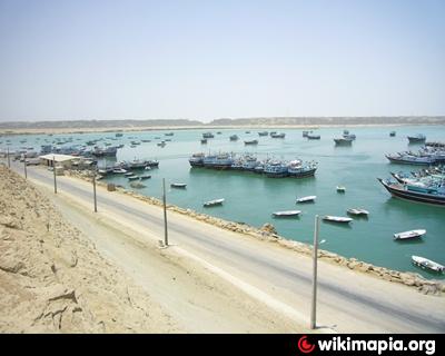
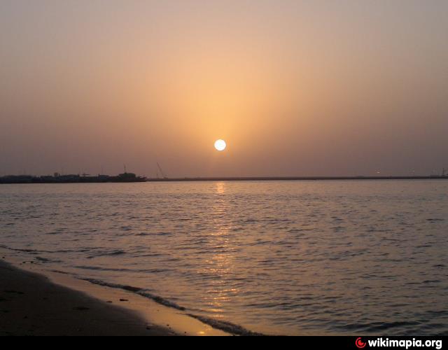

The Port of Chabahar (or Chah Bahar) is a seaport in Chah Bahar in southeastern Iran. Its location lies in the Gulf of Oman. It is the only Iranian port with direct access to ocean. The port was partially built by India in the 1990s to provide access to Afghanistan and Central Asia, bypassing Pakistan.
Chabahar port history[edit]
The port of Chabahar is located in the south of Sistan and Baluchistan Province. Because of its establishments and ease of access to ocean as well as Oman Sea and Persian Gulf, long ago it was the centre of business, trade and navigation.
The master plan of the port of Chabahar was brought up in 1973, and its related contracts were signed with contractors. But for some reasons this plan was delayed after the Islamic Revolution, because of financial resources deficiencies. A part of this plan that contains quick berth and breakwater was started and finished.
Shahid – Kalantary port is one of two important ports in Chabahar. The executive operation of this port was started in 1981 and it became operational with the completion of four jetties in 1983. During the war between Iran and Iraq, the Iranian government noticed the important role of the port of Chabahar in Iran’s imports and exports, because of its unique characteristics such as being out of the Strait of Hormuz and the Persian Gulf. So, Shahid – Beheshti port was built and equipped as the most important port in Chabahar.
Geographical situation[edit]
The port of Chabahar is located in the south-east of Iran, north-west of Indian Ocean, and north-east of Oman Sea at 25°17′28″N 60°38′15″E.
Railway network[edit]
The establishment of the port of Chabahar's connection to the country’s railway plan, is under study and consideration. With the completion of the Kerman–Zahedan railway and its connection to the port of Chabahar, this port will connect to the Trans-Iranian Railway.
Climatic situation[edit]
In general, the port of Chabahar is located in an area that has warm and humid summers and moderate winters.
Wikipedia article: http://en.wikipedia.org/wiki/Port_of_Chabahar
Nearby cities:
Coordinates: 25°20'25"N 60°30'51"E
- Gulf of Oman 469 km
- Gulf of Masirah 601 km
- Gulf of Kutch 847 km
- Khalij Khuria Muriya 989 km
- Gulf of Salwa 1012 km
- Gulf of Khambhat 1227 km
- Khur-e Musa Bay (Musa Bay) 1282 km
- Persian Gulf 1343 km
- Turkmenbashi Bay 1776 km
- Gulf of Mannar, Tamil Nadu 2582 km
- Imam Ali Navy of the Army of the Guardians of the Islamic Revolution of Chabahar 9 km
- Shahid Beheshti port in Chabahar 10 km
- Park Creek 12 km
- Konarak Iranian Military Base - The Iranian army's Navy 12 km
- International University of Chabahar 13 km
- Konarak Desert 13 km
- industry center 14 km
- Komb 20 km
- Chabahar combined cycle power plant 27 km
- Kishdab Lake 30 km
Imam Ali Navy of the Army of the Guardians of the Islamic Revolution of Chabahar
Shahid Beheshti port in Chabahar
Park Creek
Konarak Iranian Military Base - The Iranian army's Navy
International University of Chabahar
Konarak Desert
industry center
Komb
Chabahar combined cycle power plant
Kishdab Lake
Comments