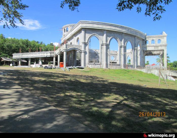
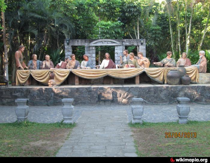
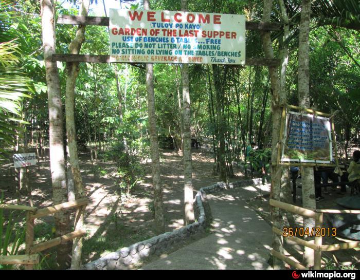
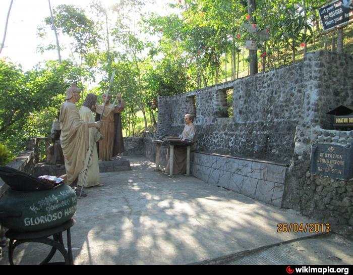
Kawa Kawa (Hill) (Ligao)
Philippines /
Bicol /
Bonga /
Ligao
World
/ Philippines
/ Bicol
/ Bonga
World / Philippines / Albay / Ligao City
hill
Add category
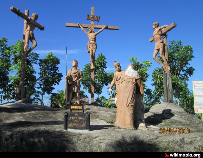

Kawa Kawa hill
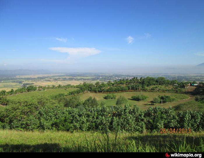
View at the top is barely noticeable.
View at the top is barely noticeable.
Nearby cities:
Coordinates: 13°13'33"N 123°33'13"E
- Dulangan 285 km
- Chocolate Hills 369 km
- Sierra Madre Mountains 371 km
- Canmanoc Hills 384 km
- Cabarungan Hills 449 km
- Castle Peak 1167 km
- Perdayan Forest (Bukit Patoi) Recreation Park 1329 km
- Bukit Sagan 1349 km
- Bukit Lambir 1454 km
- Karts Gunung Sekerat 1517 km
- Mayon Vista Subdivision 1.2 km
- Ligao City Proper 2.4 km
- Brgy. Banao (Guinobatan, Albay, Philippines 2.7 km
- Barangay Tagpo Proper 2.9 km
- Purok 5 3.1 km
- Purok 4 3.5 km
- North Tagpo 3.6 km
- Purok 3 4.2 km
- Tibangray ( Sto. Nino ) Ligao,City Albay 5.7 km
- Albay 21 km
Comments