Galbshtadt
Russia /
Altaj /
Galbshtadt /
World
/ Russia
/ Altaj
/ Galbshtadt
, 1 km from center (Гальбштадт)
World / Russia / Altay
village, mennonite, district center
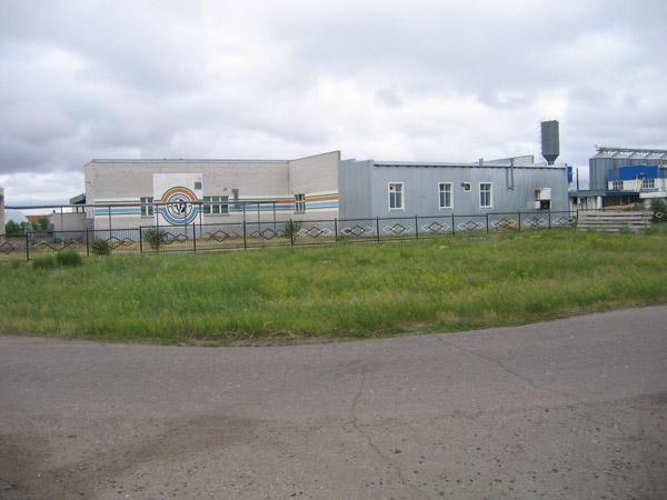
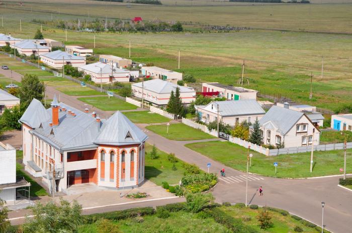
Galbshtadt (Russian: Гальбштадт, German: Halbstadt) is a rural locality (a selo) and the administrative center of Galbshtadtsky Selsoviet and Nemetsky National District, Altai Krai, Russia, located within the Kulunda Plain, 430 km west of Barnaul. The population was 1750 as of 2016, German 31,8%, Russian 59,3, Ukrainian 5,3%.
Wikipedia article: http://en.wikipedia.org/wiki/Galbshtadt
Nearby cities:
Coordinates: 53°13'37"N 78°59'22"E
- Sberbank office
- Galbshtadt secondary school 0.4 km
- Cafe 1 km
- Brücke meat processing plant 1 km
- Cemetery 4.2 km
- Cemetery 4.8 km
- Cemetery 16 km
- Camping on Maloe Yarovoe lake 21 km
- imeni Demiyana Bednogo 26 km
- Blagoveshhenskij Zakaznik 53 km