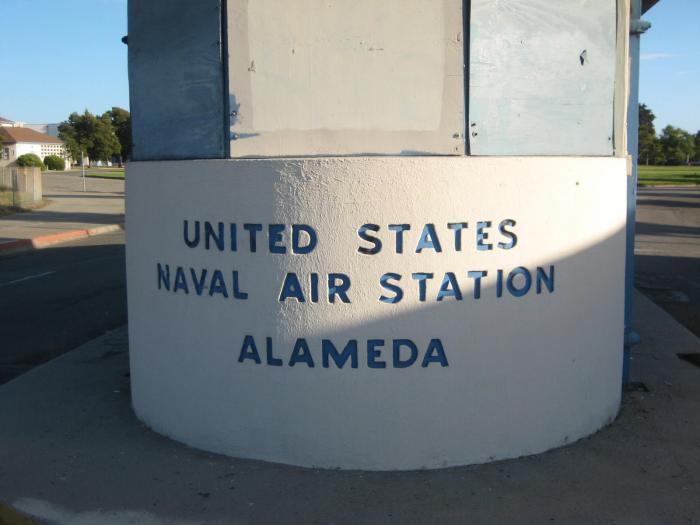
Punta Alameda (Alameda)
USA /
California /
Emeryville /
Alameda
World
/ USA
/ California
/ Emeryville
Mundo / Estados Unidos / California
aeropuerto, militar, marina (de guerra), NRHP - National Register of Historic Places (en), solo mostrar contorno, closed / former military (en), historic district (en)
Ciudades cercanas:
Coordenadas: 37°47'0"N 122°18'41"W