Kulaly Island
Kazakhstan /
Mankistau /
Bautino /
World
/ Kazakhstan
/ Mankistau
/ Bautino
World / Cape Verde
island
Add category
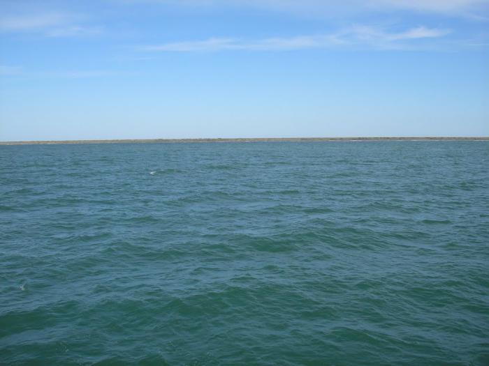
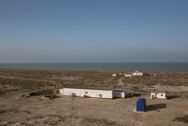
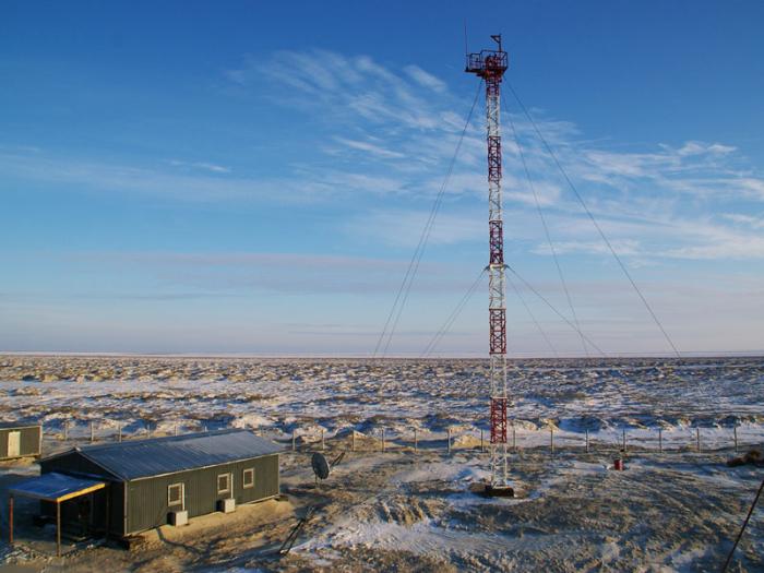
Kulaly Island (Kulaly-Aral) stretches 25 km from tip to tip. The shape is irregular with headlands and inlets. There is a lighthouse and a meteorological station and a Kazakh border guard post. The place is ether arid or reed-covered.
There are many Caspian seals on the island, which gave name to the archipelago to which Kulaly belongs, the Tyuleniy Archipelago, 'Tyuleny' being the Russian equivalent of 'seal' or Tülen, being the Kazakh variant.
hence their name "Tyuleniy", which means "seal".
There are many Caspian seals on the island, which gave name to the archipelago to which Kulaly belongs, the Tyuleniy Archipelago, 'Tyuleny' being the Russian equivalent of 'seal' or Tülen, being the Kazakh variant.
hence their name "Tyuleniy", which means "seal".
Nearby cities:
Coordinates: 44°55'52"N 50°6'35"E
- Ukatnyi Island 122 km
- Chistaya Banka 170 km
- Poletarsky Island 226 km
- Gorodskoy Island 230 km
- Vazgo Island 233 km
- Island 283 km
- Shambaysky island 301 km
- Sandy island 423 km
- Sandy island 526 km
- Sandy island 529 km
- Tyuleniy Archipelago 21 km
- Balykshi Marine Base 44 km
- Zhalau Mynbaev school 45 km
- ENKA MARINE BASE 45 km
- Kazakhstan Naval Force Units 45 km
- Cemetery 46 km
- Cemetery 50 km
- Cemetery 50 km
- Cemetery 51 km
- Fort-Shevchenko Wind Farm 55 km