Queanbeyan, NSW
Australia /
New South Wales /
Queanbeyan /
World
/ Australia
/ New South Wales
/ Queanbeyan
World / Australia / New South Wales
city
Add category
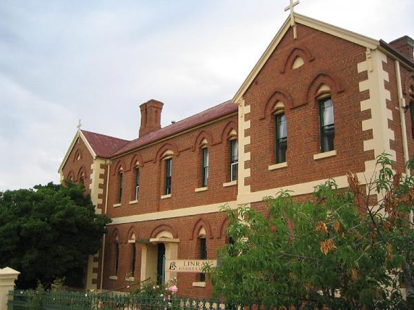
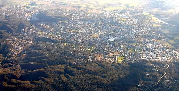


Queanbeyan is a city and local government area (Queanbeyan City Council) in south eastern New South Wales, Australia. It is a city overshadowed somewhat by its proximity to the Australian federal capital city of Canberra: it has effectively become a de facto district of the nearby capital city as it lies on the Australian Capital Territory border and is approximately 10km from Canberra's CBD, Civic. The border itself is defined by a railway line. The Queanbeyan River runs through Queanbeyan, near the centre of the city.
Queanbeyan has a population of 36,331 and has been said to be the "fastest growing city in Southern NSW".
Queanbeyan has a population of 36,331 and has been said to be the "fastest growing city in Southern NSW".
Wikipedia article: http://en.wikipedia.org/wiki/Queanbeyan,_New_South_Wales
Nearby cities:
Coordinates: 35°20'55"S 149°13'33"E
- Shoalhaven 104 km
- City of Wollongong 187 km
- Wagga Wagga NSW 196 km
- Blue Mountains 237 km
- WESTERN SYDNEY 253 km
- Sydney 253 km
- Western Sydney 272 km
- Greater Melbourne 484 km
- City of Brisbane, QLD 956 km
- Auckland, NZ 2280 km
- Beard, ACT 1.5 km
- HMAS Harman 2.3 km
- Karabar, NSW 3.1 km
- Sutton Road Drover Training Complex 3.2 km
- Greenleigh, NSW 3.2 km
- Antenna Farm for Direction Finding 3.6 km
- Gale Precinct - Grassy Box woodland remnant 4.2 km
- Fairbairn Forest 4.2 km
- Canberra International Airport (IATA: CBR, ICAO: YSCB) 5.9 km
- Canturf Farm 6.3 km
Comments