Jisimdo (Camellia Island)
Korea (South) /
Kyongsangnam /
Changsungpo /
World
/ Korea (South)
/ Kyongsangnam
/ Changsungpo
World / South Korea / Gyeongsangnam-do
island
Add category
Jisimdo is a very small island covering an area of just 0.338km²/83.5acres with a 3.5km/2.2mi long coastline, about 500m/564yd wide and 1.5km/0.93mi in length. The name of the island comes from its appearance resembling the Chinese character ‘Sim'. The population is 22 residents.
Jisimdo is also of historic significance, as it was a strategic point used by the Japanese army during World War II against China and some remnants like artillery sites and tunnels still exist on the island.
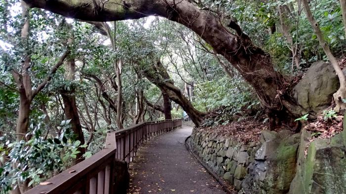
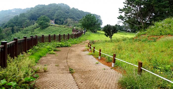
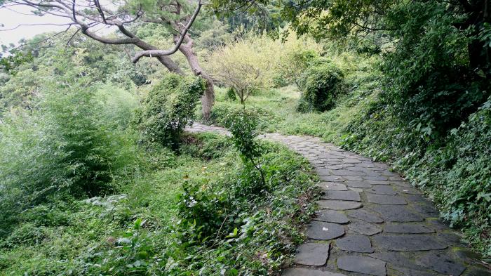
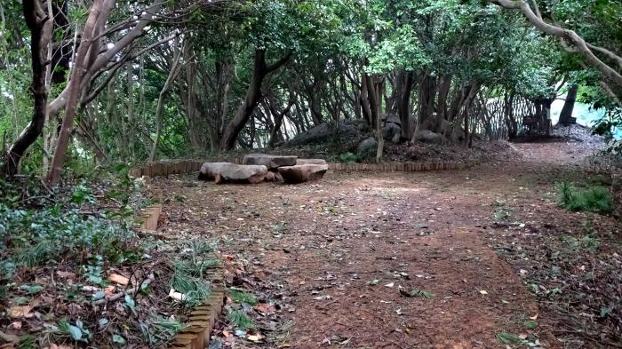
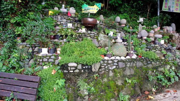
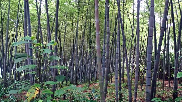
Jisimdo, known as Camellia Island, is visited primarily for its vast amount of camellia trees. Jisimdo is a beautiful cliff-side island with 37 different species of evergreen trees and other plant life, including pine trees, Geoje aerides (any orchid of the genus aerides), and of course camellia trees growing on this island, making it a natural botanical treasure.
Jisimdo is also of historic significance, as it was a strategic point used by the Japanese army during World War II against China and some remnants like artillery sites and tunnels still exist on the island.
Jisimdo, known as Camellia Island, is visited primarily for its vast amount of camellia trees. Jisimdo is a beautiful cliff-side island with 37 different species of evergreen trees and other plant life, including pine trees, Geoje aerides (any orchid of the genus aerides), and of course camellia trees growing on this island, making it a natural botanical treasure.
Nearby cities:
Coordinates: 34°49'14"N 128°45'1"E
- Geojedo 35 km
- Mireukdo (Mireuk Island) 38 km
- Tsushima Island 40 km
- Namhae Island 87 km
- Tolsan Island 96 km
- Geoguemdo 156 km
- Pyeongil (평일도) 169 km
- Gogeumdo (고금도) 188 km
- Sinjido (Island - 신지도) 190 km
- Wando (Island - 완도) 199 km
- Chisepo 2.4 km
- Chisepo 4.1 km
- Ilun-myeon 4.4 km
- Oknyeobong 6.6 km
- Daewoo Shipbuilding and Marine Engineering (DSME) 7.2 km
- Guksabong 10 km
- Okpo-dong 10 km
- the Straits of Korea [the korea strait] 32 km
- Mt. Mitake 64 km
- Toyotama Machi Nii 70 km