Aker Brygge (Oslo)
Norway /
Buskerud /
Oslo
World
/ Norway
/ Buskerud
/ Oslo
World / Norway / Vestfold
neighbourhood
Add category
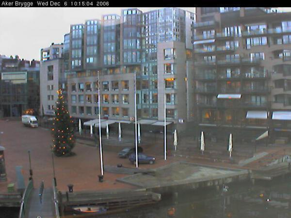


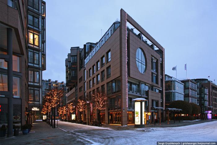
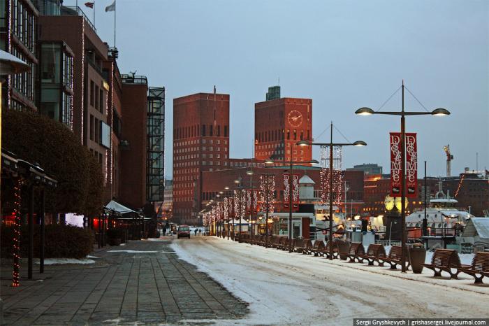
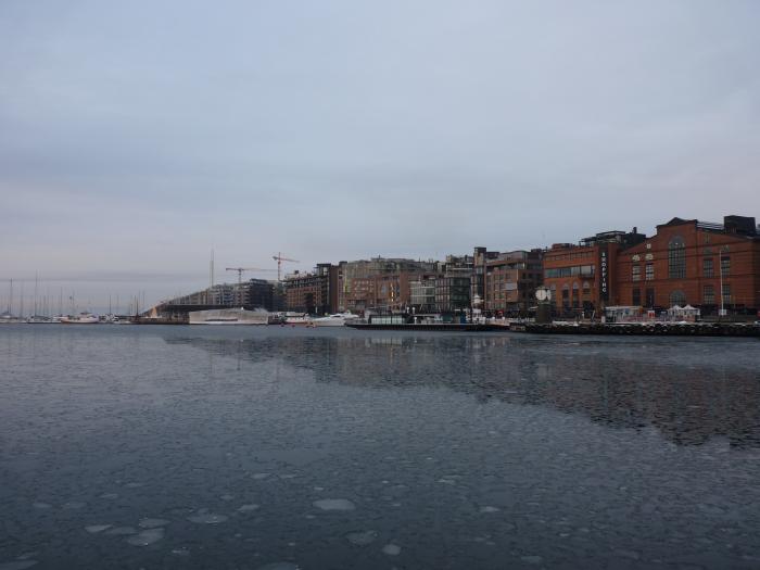

The construction of Aker Brygge was carried out in four steps by the realtors Aker Eiendom AS. A few old industrial buildings were demolished, while several of the major workshop halls were rebuilt as shopping areas. The first step of the construction was finished in 1986, with Telje, Torp and Aasen as architects. The fourth and final construction, the Storebrand insurance building facing Munkedamsveien, was completed in 1998. The area consists of a shopping center with shops and restaurants, a cinema, office space, and apartments. Additionally, there is a small boat harbour, and a terminal for the ferries to Nesodden. The area measures 260 000 m2.
Wikipedia article: http://en.wikipedia.org/wiki/Aker_Brygge
Nearby cities:
Coordinates: 59°54'35"N 10°43'31"E
- Ekeberg Municipality, Oslo 1.4 km
- Ljan Municipality, Oslo 5.4 km
- Oslo 9 km
- Bergen, NO 305 km
- Indre Laksevåg 307 km
- Vejgaard 322 km
- Risskov 413 km
- Hasle 416 km
- Aabyhøj 418 km
- Løsning 460 km
- Operatunnelen, Festning Tunnellen segment 0.3 km
- Pipervika 0.4 km
- Akershus Fortress 0.8 km
- Bjørvika 1.4 km
- Hovedøya 1.7 km
- Bispevika 1.7 km
- Bleikøya 2.4 km
- Sjursoya 2.8 km
- Operatunnelen, Ekebergtunnelen segment 2.8 km
- Vestre Ekeberg Skog 3 km
Comments