Hopen
Norway /
Finnmark /
Havoysund /
World
/ Norway
/ Finnmark
/ Havoysund
Världen
Insel
Kategorie hinzufügen

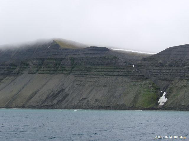
Norwegische Insel, 33 km lang, mit Wetterstation und Hubschrauberlandeplatz.
Von 1943 bis 1945 befand sich hier eine deutsche Wetterstation, die mit U-Booten versorgt wurde.
Von 1943 bis 1945 befand sich hier eine deutsche Wetterstation, die mit U-Booten versorgt wurde.
Wikipedia-Artikel: http://de.wikipedia.org/wiki/Hopen
Nearby cities:
Koordinaten: 76°34'46"N 25°11'48"E